This was one of the most impressive hikes I have ever done. The combination of Mediterranean climate, wildflowers, hot rocks and a huge crack in the mountain in front of us made the landscape feel almost unreal. Behind us was the unbelievable German Bridge, while further along the route we reached a small hanging bridge above the Kapıkaya River.
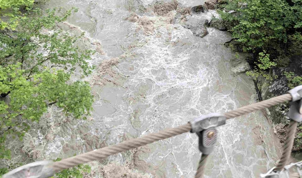
The river itself was another surprise. Because it was spring and there had been a lot of rain, the water had a strange brown color that reminded us of a late macchiato or dirty coffee.
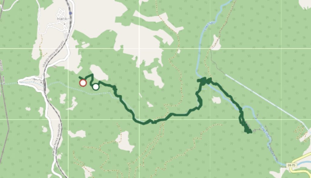
I am sharing my GPX route from the German Bridge, but I also want to share the story of what happened during the hike. We came very close to finishing the route, but heavy rain and a rapidly rising river forced us to turn back only a few hundred meters before the end.
Starting Point of the Hike
This hiking route follows the Kapıkaya River through the canyon. Depending on how you organize your trip, the German Bridge can be either the starting or ending point of the hike. You can also make it a two-way hike and return to the same place. Some parts of the route may require crossing the river, depending on the season and water level. Most of the time, however, the trail follows the river through the canyon.
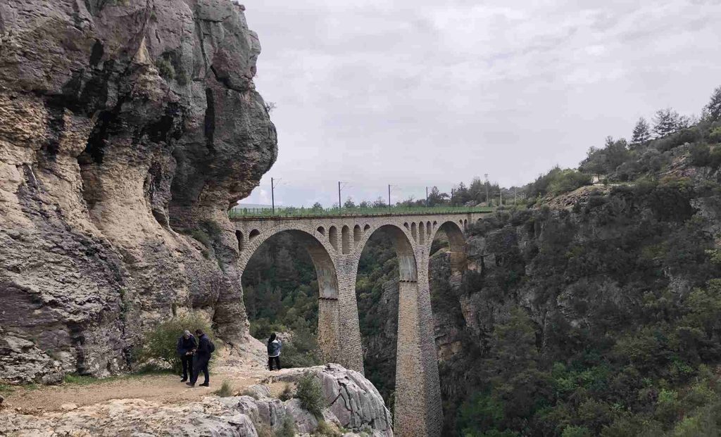
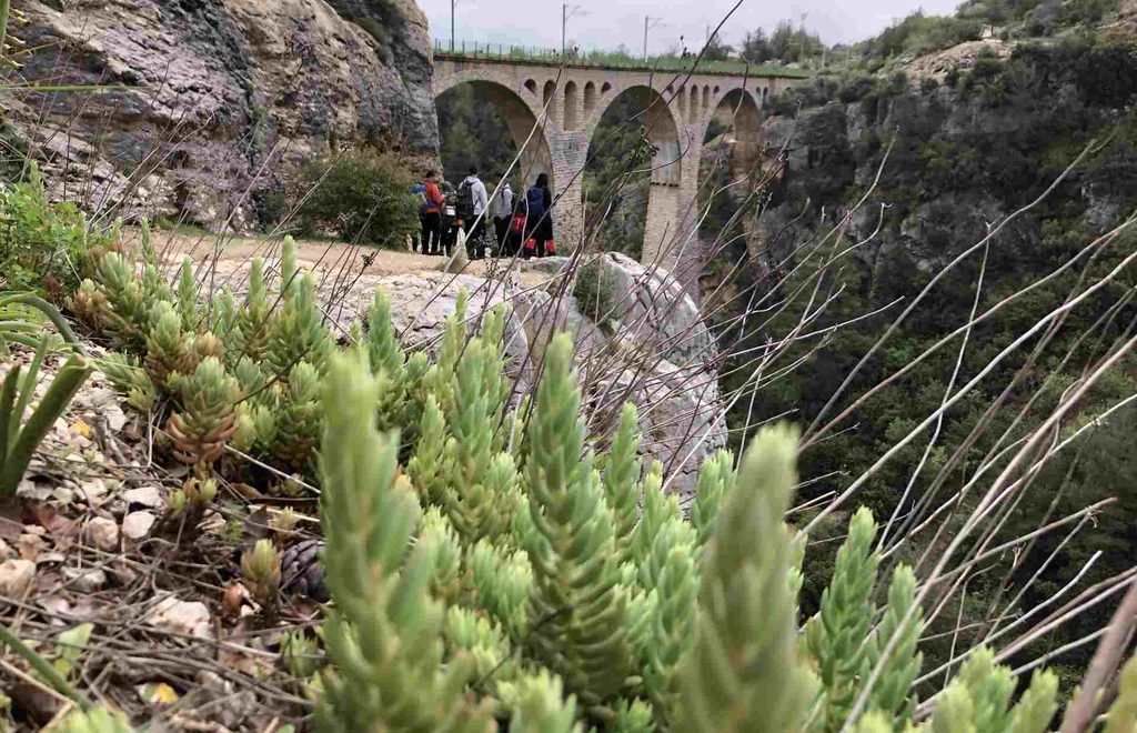
I started my hike from the German Bridge and followed the route down towards the river. The first thing that caught my attention was the landscape. The area has a Mediterranean feeling, with warm rocks, dry-looking vegetation and many flowers growing between the stones. At the same time, the canyon creates a completely different atmosphere.
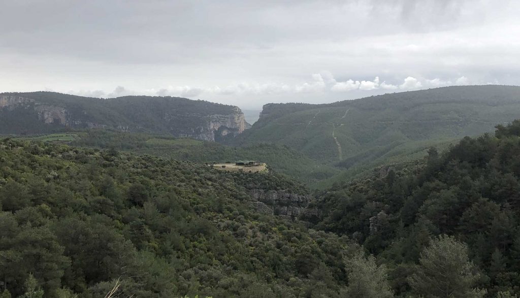
At one point, we could see a huge crack or opening in the mountain in front of us.
“Hmm… are we going there?”
That was basically our reaction. And yes, the hiking route was heading in that direction.
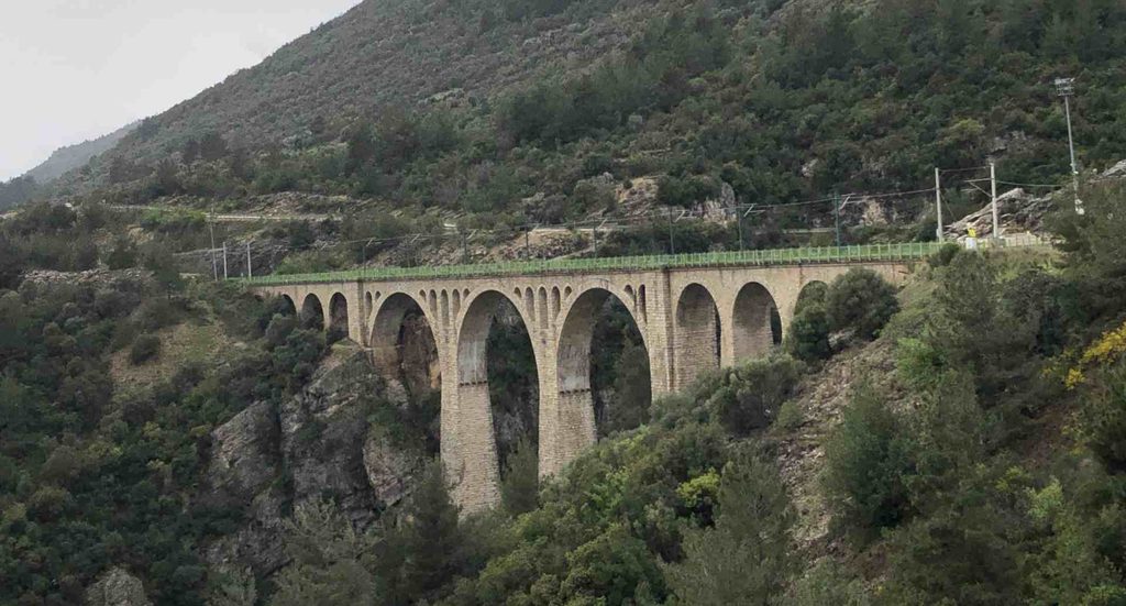
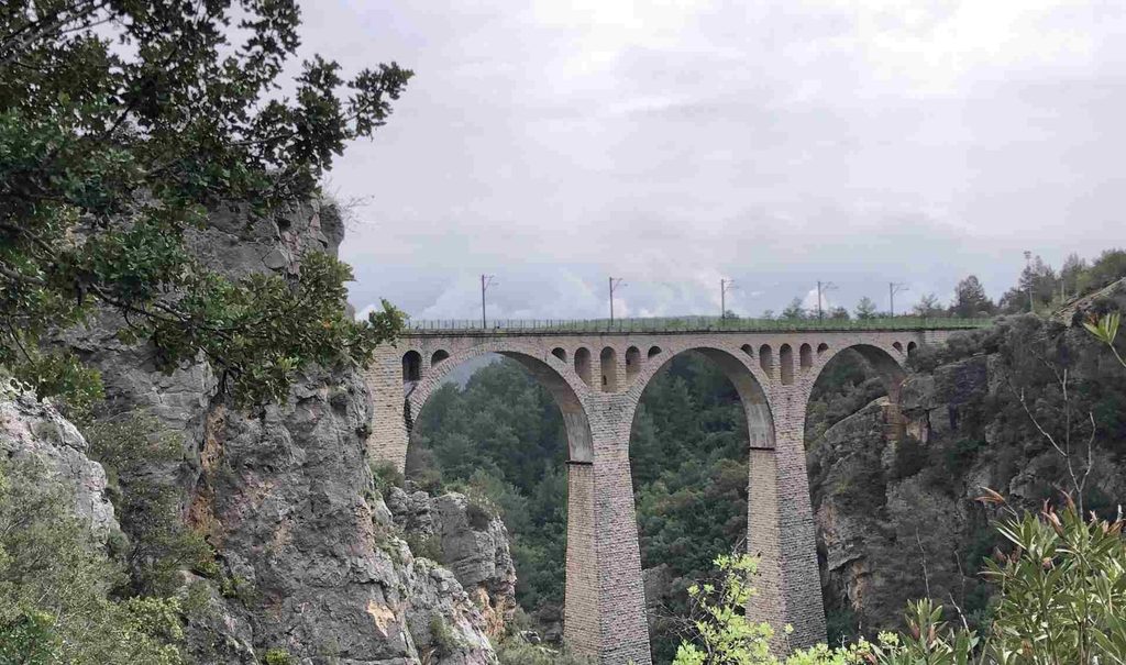
German Bridge, Varda Viaduct
The German Bridge, also known as the Varda Viaduct, is one of the symbols of this area. It became even more famous internationally after appearing in the opening scenes of the James Bond movie Skyfall.
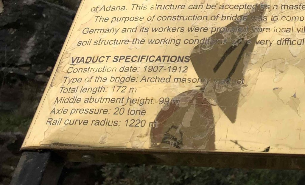
The bridge is extremely impressive from almost every angle. You can see it from above, from the surrounding hills and from lower down on the route. Changing your elevation completely changes the way the bridge looks.
For me personally, one of the strangest things was how new the bridge looked. Considering its age, I expected it to look much older and more damaged. Instead, from some viewpoints, it almost looked like it had been opened recently.
The bridge was built as part of the railway project connected with the Baghdad Railway, which was intended to create a railway connection between Europe and the Middle East.
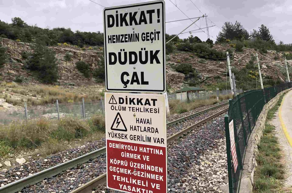
The railway is still operating, although I am not sure how frequently trains pass through this section. Because of this, it is important to be careful around the railway and never assume that there will be no trains.
There is also a small café near the bridge, which makes it possible to take a break before or after the hike.
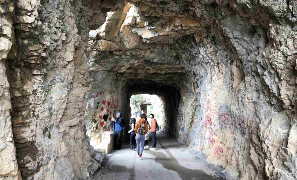
Around the bridge there are also tunnels and several viewpoints. Even if you are not planning to hike the whole canyon, the bridge itself is worth seeing.
Going Down into the Canyon
After leaving the bridge, the route starts on an asphalt road, but the asphalt disappears after roughly ten minutes of walking. There is another great viewpoint of the German Bridge from here. Because you are now at a different elevation, the bridge looks even larger. After that, the route becomes much more natural. The road turns into a narrow forest trail between rocks. In some places, there is only enough space for one person to walk comfortably.
The rocks can also be slippery, especially after rain. Eventually, the trail becomes wider as the terrain becomes flatter. During our hike, it was spring, so there were many flowers along the route. The combination of rocks, trees and Mediterranean vegetation made this part of the hike especially beautiful.
We also had to pass fallen trees and old pine trees lying across parts of the trail. It did not feel like a perfectly maintained hiking path. Instead, it felt more wild and natural, which was one of the things I enjoyed about it. After some time, we reached the hanging wooden bridge over the Kapıkaya River.
Wooden Bridge on the Kapıkaya River
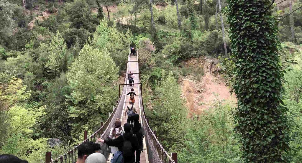
The wooden hanging bridge was another highlight of the hike. It was not a huge bridge, but it was high enough above the river to make me feel a little nervous. The bridge was also moving as people walked across it.
You can hold the cables on both sides while crossing. If you want to reduce the movement of the bridge, it is better to stay closer to the central part instead of walking along the sides.
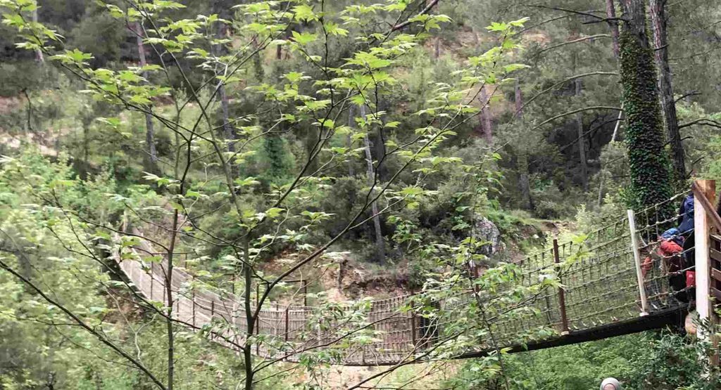
The river below was flowing strongly, especially because it was spring and there had been a lot of rain. There was also a group of people crossing the bridge at the same time, so we had to wait for a while before everyone could pass.
Once we reached the other side, we stopped for a short break. The views from the bridge were great in both directions. Looking back, you could see the canyon and the rocks, while below you could hear the river moving through the valley.
The “Macchiato” River
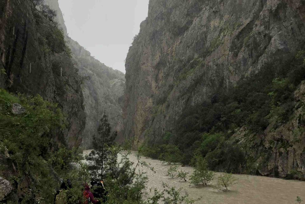
The color of the Kapıkaya River was something I had never seen before. The water was brown and cloudy, and it reminded us of a late macchiato or a cup of dirty coffee. This was probably not surprising considering the amount of rain and the conditions in the mountains. The river was flowing strongly and the sound of the water was sometimes surprisingly loud.
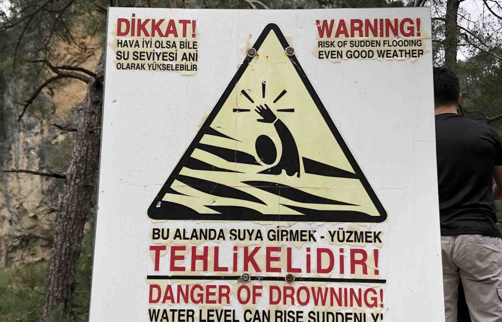
There were also several warnings along the route about the river. The warnings explained that the water level could rise suddenly and that swimming was forbidden. At first, these warnings did not seem particularly important. But later in the hike, we understood exactly why they were there.
The Canyon and the Problem
After crossing the wooden bridge, we continued deeper into the canyon. The rocks were getting higher on both sides, making the canyon feel narrower. We were getting very close to the end of our hiking route. Then the rain started.
At first, it was not a big problem. Some people had rain jackets, while others had umbrellas. But the rain became heavier and heavier. At the same time, the river was rising.
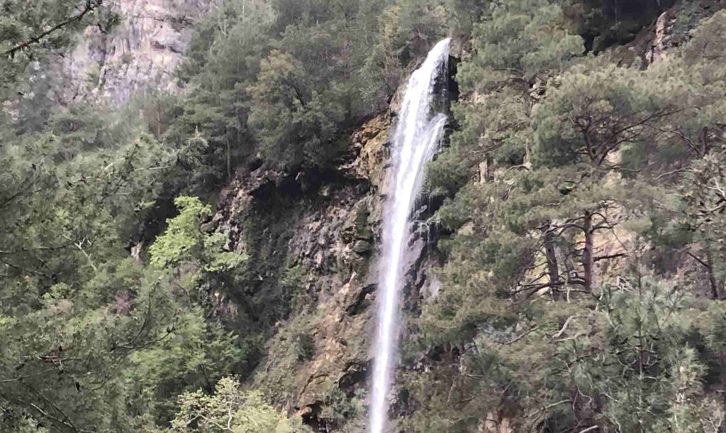
We were only a few hundred meters from the end of the route, but the river had to be crossed in order to continue. Our tour guide went to check whether it was still possible to cross.
It was not. The water level had become too high. At one point, the river was above his head, making it obviously too dangerous to attempt the crossing. The rain continued to get heavier. This was the moment when we had to make the decision to turn around. Going back was not particularly easy either. The rocks had become very slippery because of the rain, and our group had started to spread out.
Some people were walking faster, while others were moving slowly and carefully. It took some time to collect everyone and make sure the whole group was together again. At that point, the beautiful and relaxing hike had turned into a completely different experience.
Turning Back
It was frustrating to be so close to the end and still have to turn around. We were probably only a few hundred meters from completing the route, but the river made continuing too dangerous. In the end, turning back was clearly the right decision.
The hike had already given us plenty to remember: the enormous German Bridge, the Mediterranean landscape, wildflowers between the rocks, the narrow canyon, the swinging wooden bridge and the strange brown “macchiato” river.
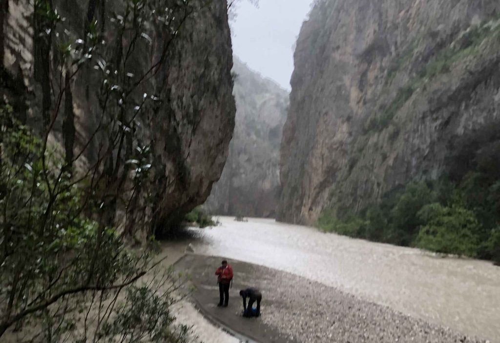
It also reminded me that hiking routes can change completely depending on the weather. A trail that looks easy when the weather is good can become much more difficult after several hours of heavy rain. Rivers especially should not be underestimated. For anyone planning to hike the Kapıkaya Canyon, I would strongly recommend checking the weather and river conditions before starting. Be prepared for slippery rocks and possible river crossings, and pay attention to the local warnings. For me, the fact that we did not reach the end did not ruin the hike.
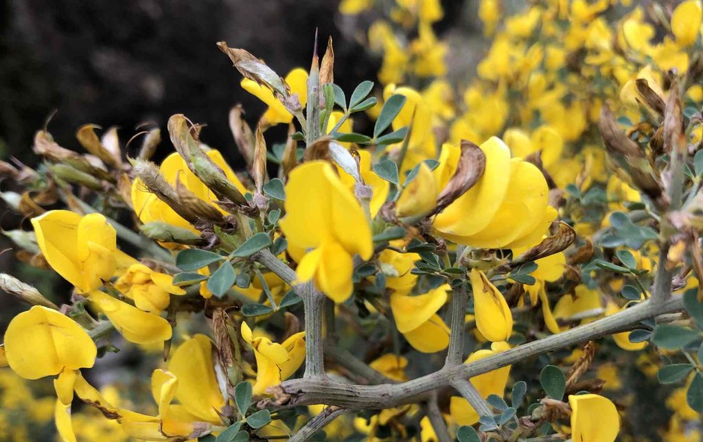
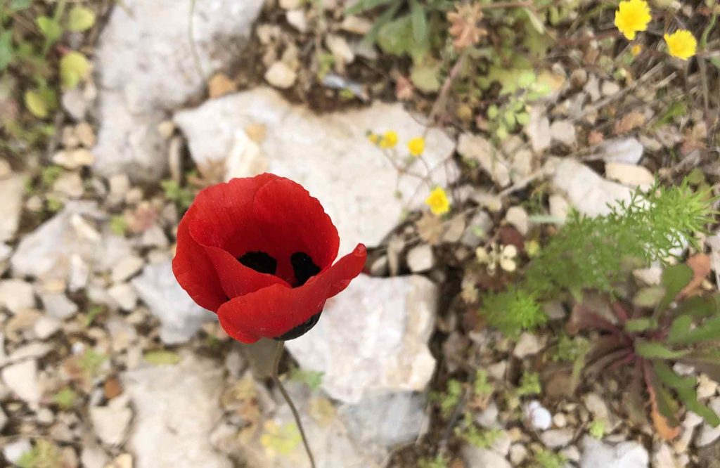
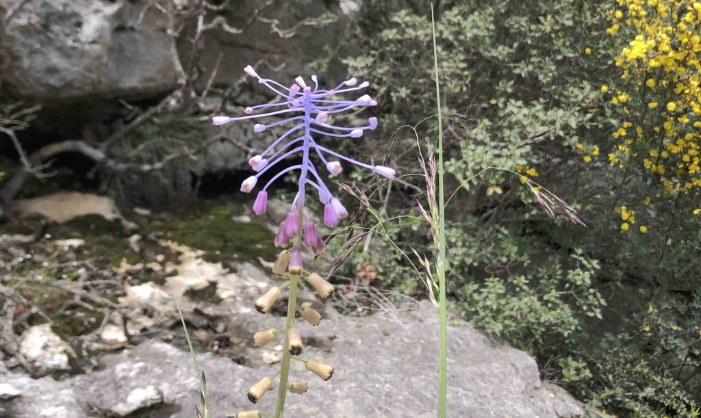
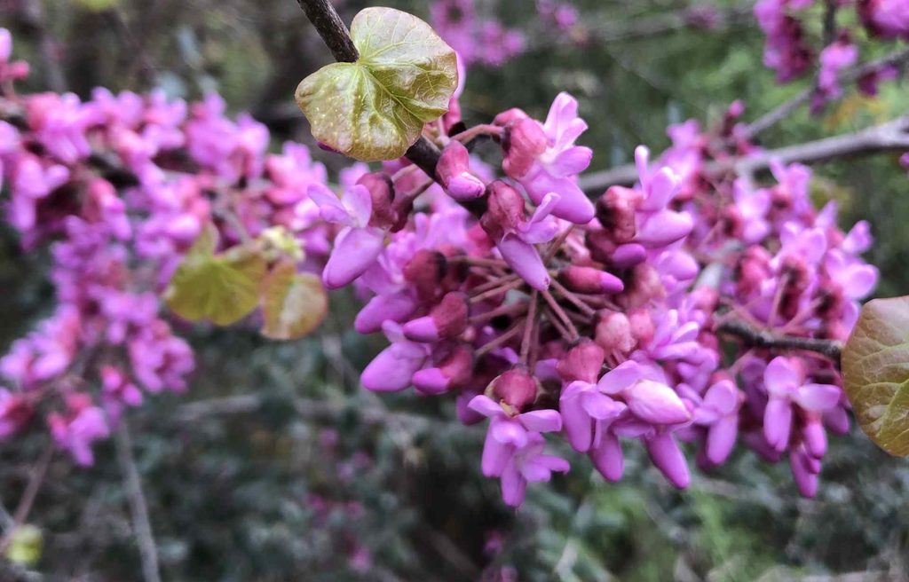
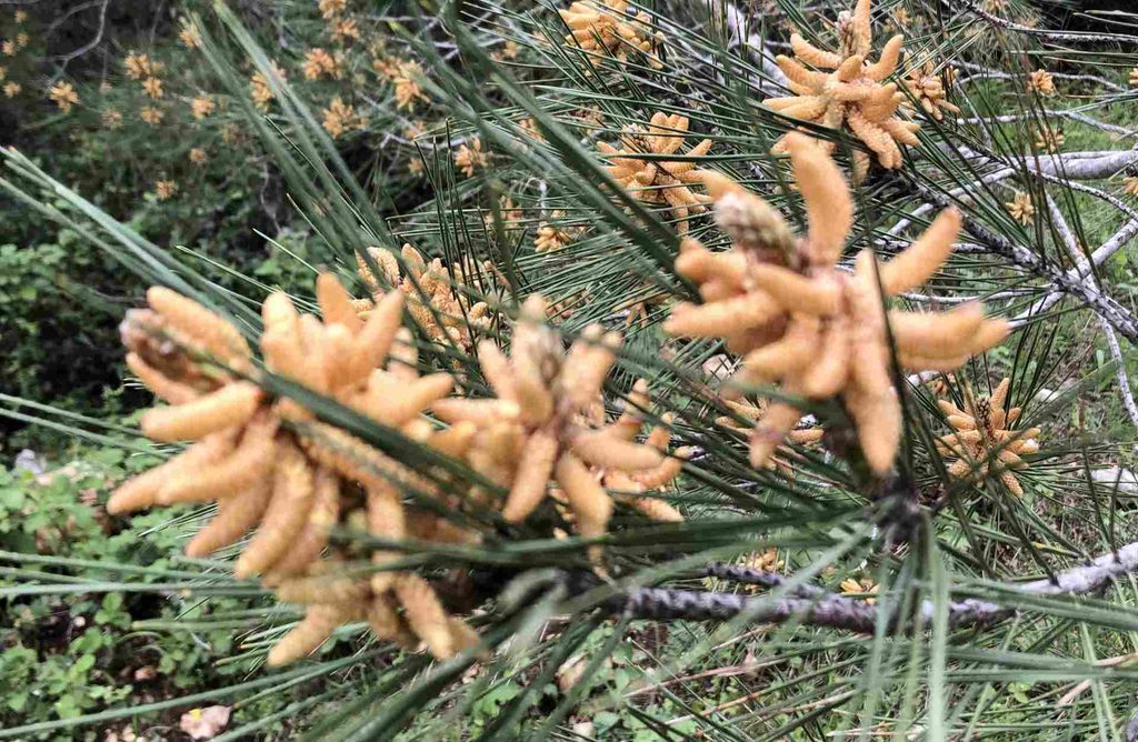
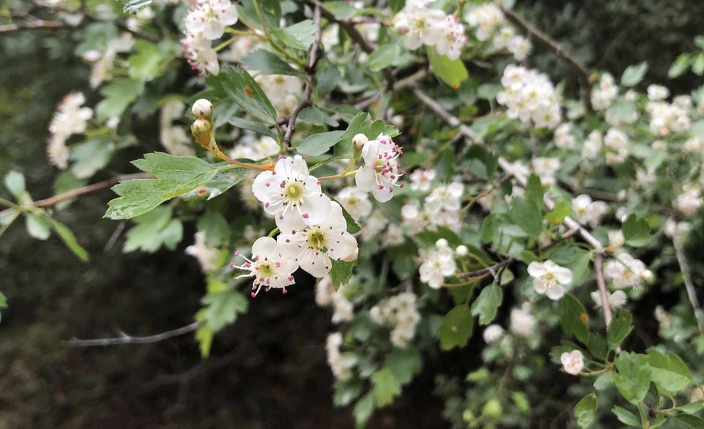
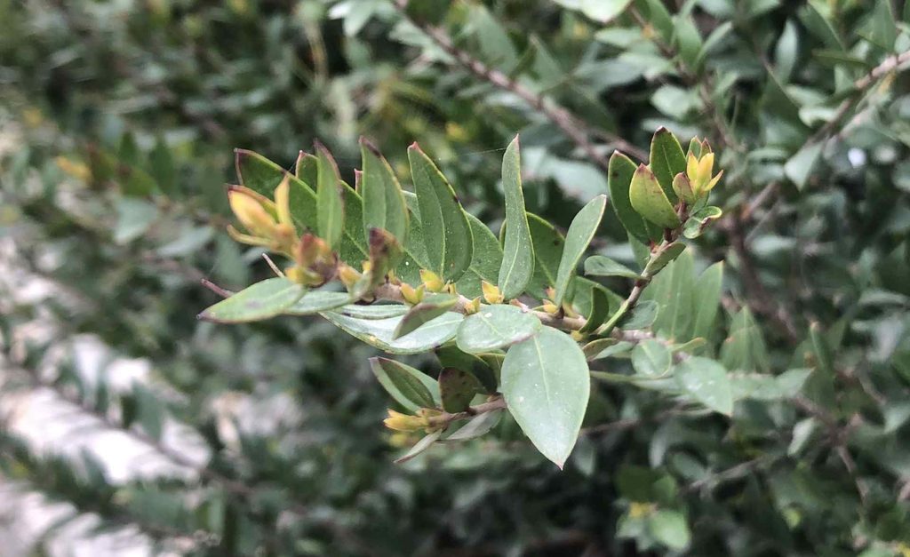
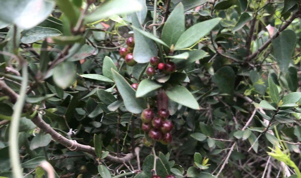
Flowers and interesting spieces I found
GPX
You can download my GPX by clicking here