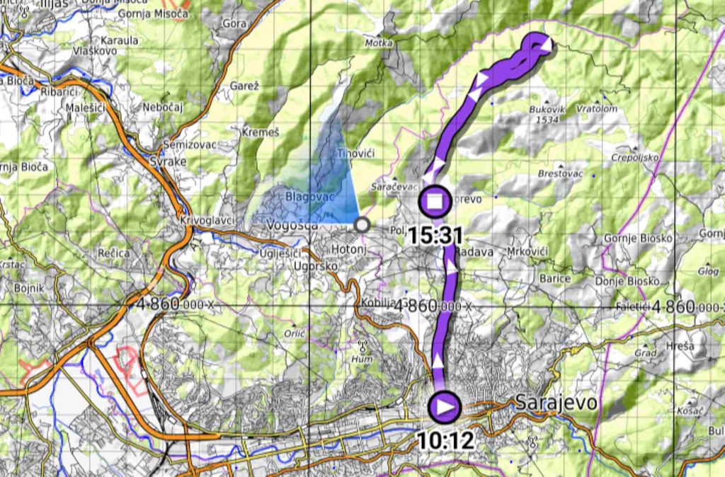
This is my detailed guide to hiking to Skakavac Waterfall near Sarajevo. I will explain how to get there, give you the coordinates of important places, and share my GPX track. I recommend using the GPX because there are some unusual turns and parts of the route are not very well marked. I walked all the way from Sarajevo city center to Skakavac, but I returned by bus from Nahorevo, the last village on the bus route. You can also use the trolleybus and start your hike from Pionirska Dolina.
If you go by bus, car, or taxi, I still strongly recommend using my GPX. It can help you follow the correct road and avoid unnecessary detours and taxi scamms which not uncomon in Bosnia.
4 ways to go to Skakavac Enterance
Way 1: By car
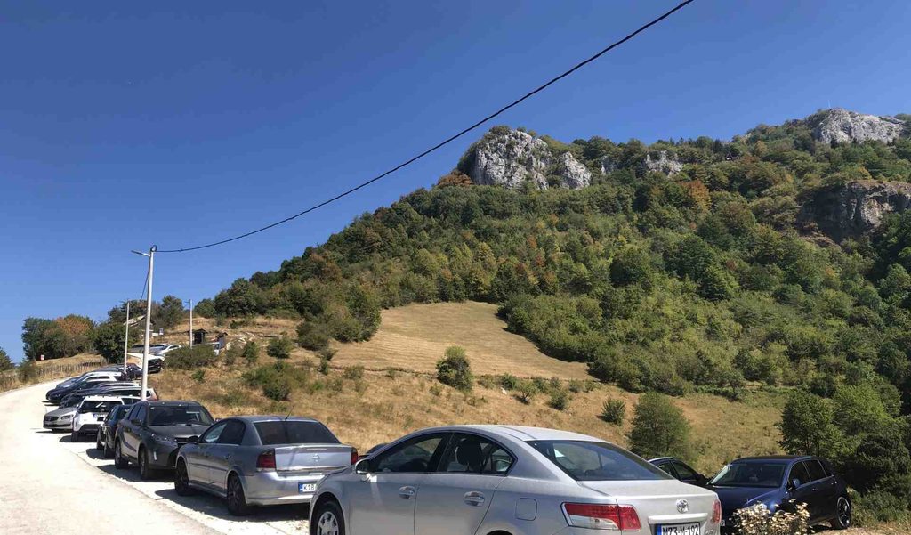
This is the easiest way and probably the way most people visit Skakavac. There is a parking area at the entrance to the nature park, and from there you can start your hike relatively fresh. The road has around 300 meters of elevation gain. It is very narrow in some parts, and in several places two cars cannot easily pass each other.
If there are several of you, you can also ask a taxi driver to take you up. Skakavac is about 13 kilometers from Sarajevo city center. Google maps link from the parking bellow.
Way 2: By bus to Nahorevo
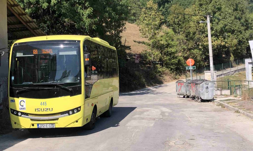
Another common option is taking the bus to Nahorevo and then walking about 5 kilometers more. Bus number 69 starts from Sutjeska. I paid 2.20 KM for the ticket. The final stop is in the village of Nahorevo, near the mosque. There is also a last water source here, since upper one dried in late summer, which can be very useful before continuing toward Skakavac. Google maps link.
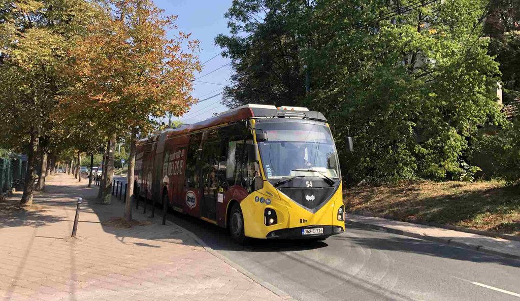
Way 3: By trolleybus to Pionirska Dolina
You can also take the trolleybus to Pionirska Dolina and then walk about 11 kilometers to the entrance of Skakavac Nature Park. If you are staying farther from Sarajevo city center, this can save you some walking and energy. Google maps link to final station.
Way 4: Walk all the way from Sarajevo
This was my choice. started at the Presidency of Bosnia and Herzegovina and walked through Sutjeska, Koševo, Pionirska Dolina, the villages around Nahorevo, and finally to Skakavac Nature Park. It was about 13 kilometers just to reach the entrance of the park, but for me the walk itself was part of the experience. If you have enough energy, I recommend this option because you can see the transition from the center of Sarajevo, through some of the city’s more expensive neighborhoods, then through villages and finally into much more isolated nature.
I will describe my complete journey later in this article.
Skakavac Nature Park and Waterfall
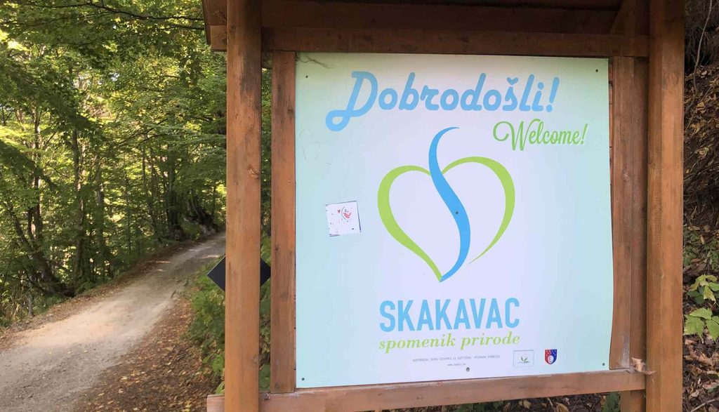
The whole area is protected and managed by the local government. You will probably see some staff at the entrance or somewhere inside the park. There is no entrance fee, so visiting Skakavac is free. The area is special because of its beautiful and unique landscapes and its diverse plants, animals, fungi, and other natural features. And, of course, the Skakavac Waterfall is the main attraction.
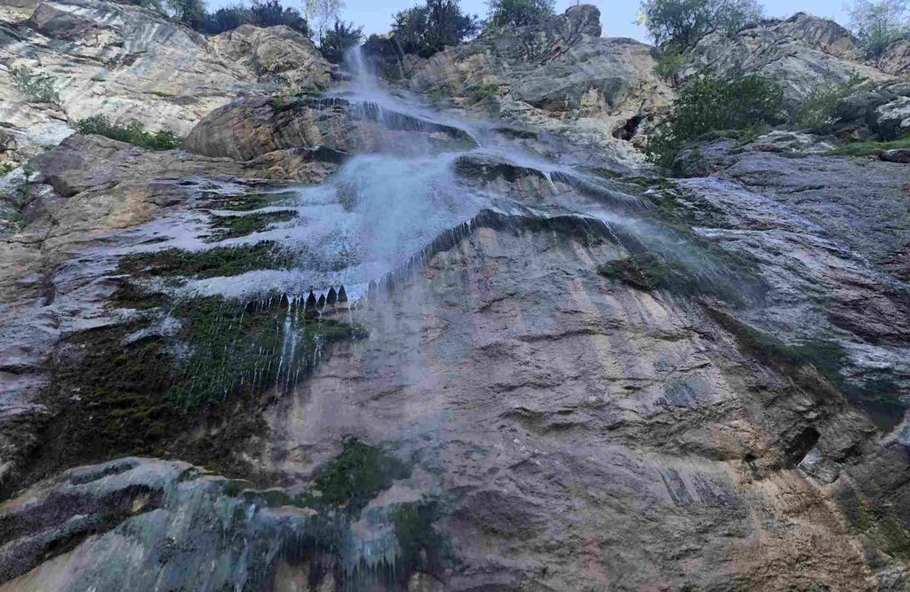
For me, Skakavac Waterfall is one of the most unique waterfalls I have seen. When you get close to it, the falling water creates thousands of tiny drops, making you feel as if you are standing in light rain or strong fog.
Which Route to Take?
There are several routes you can take to reach Skakavac Waterfall. I noticed that most people take the short route from the parking area directly to the waterfall. This is probably the easiest option, but I believe they miss several interesting places along the way.
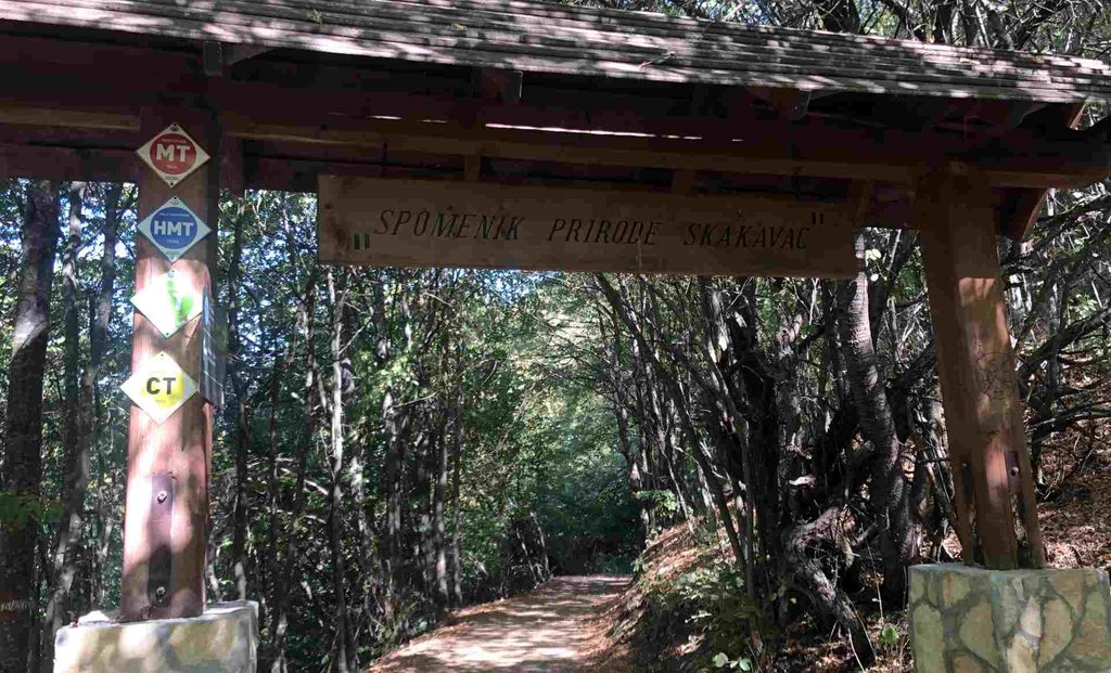
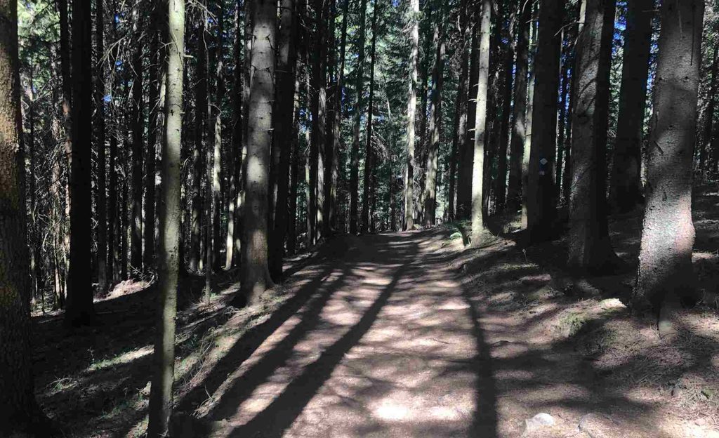
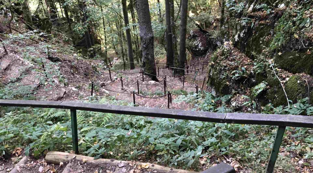
I recommend taking the circular route that I used, With this route, you will see much more of the area. There are also several information boards about fungi, animals, and other natural features. One important thing to know is that this circular route is not very well marked. I strongly recommend following my GPX track if you decide to take it.
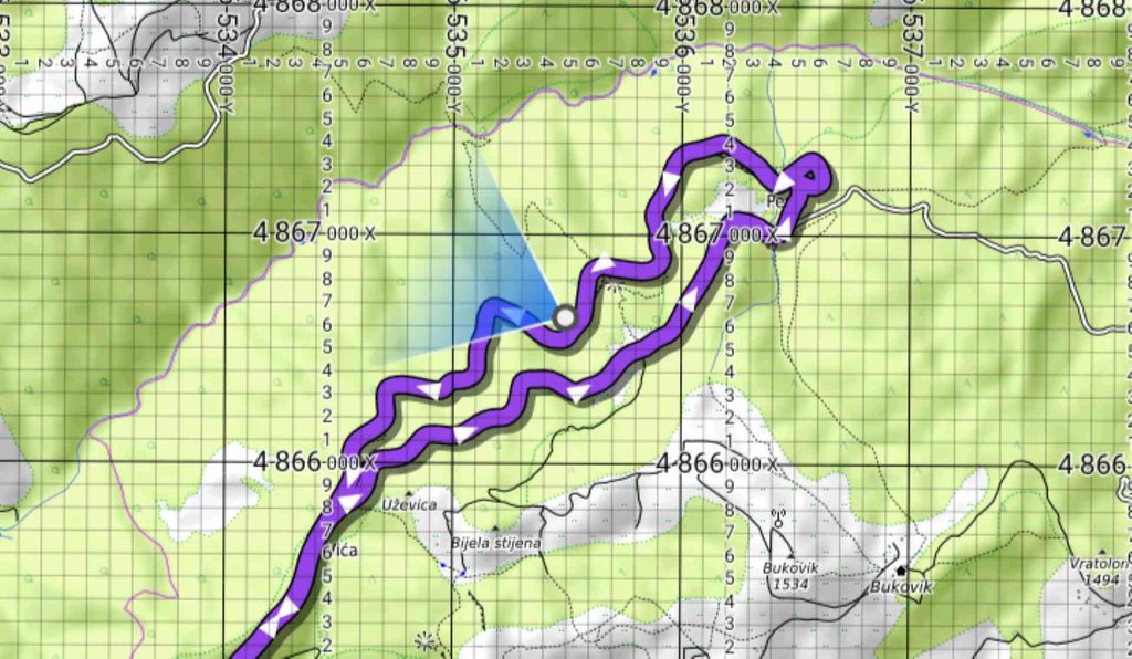
My Personal Experience
It was one of the hottest days of the whole year. According to my app, the hike was 22 kilometers long. I started near the Presidency of Bosnia and Herzegovina in Sarajevo. I intentionally wanted to start here because I wanted to experience the contrast between the city center of the capital, some of the city’s more expensive and fancy neighborhoods, villages, and finally the more isolated nature around Skakavac.
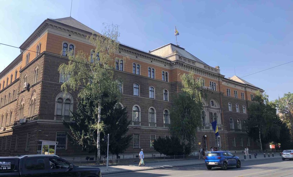
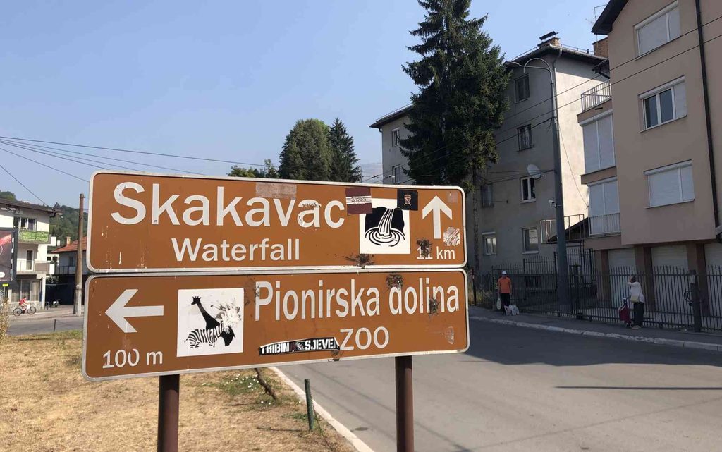
So let’s start. Shortly after starting my walk, I crossed the Sutjeska area, where I could have caught a bus. I then passed several parks and continued toward Zetra and Koševo Stadium. Shortly after that, I reached the final trolleybus station near Pionirska Dolina. There, I stopped for a moment and looked at the animals in the zoo. Part of me felt happy to be able to walk freely while they were kept behind the fences. I continued on the asphalt road through a neighborhood with large houses, stylized roofs, and gardens.
I continued walking for the next 5 kilometers on the road. There were fewer and fewer cars, and the road became narrower. Finally, I reached Nahorevo Mosque and the bus station. There was a water pipe here, which was very important because I did not find another reliable water source for the next 7 kilometers. The water I refilled here was the only water I had for a while, and it became warm during the hike. After another 5 kilometers from the final bus stop in Nahorevo, the road basically continues through the village.
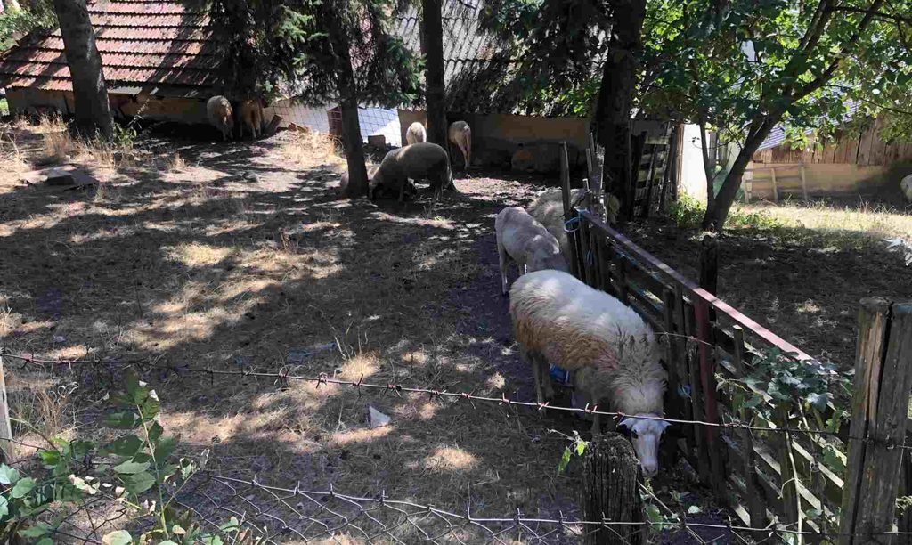
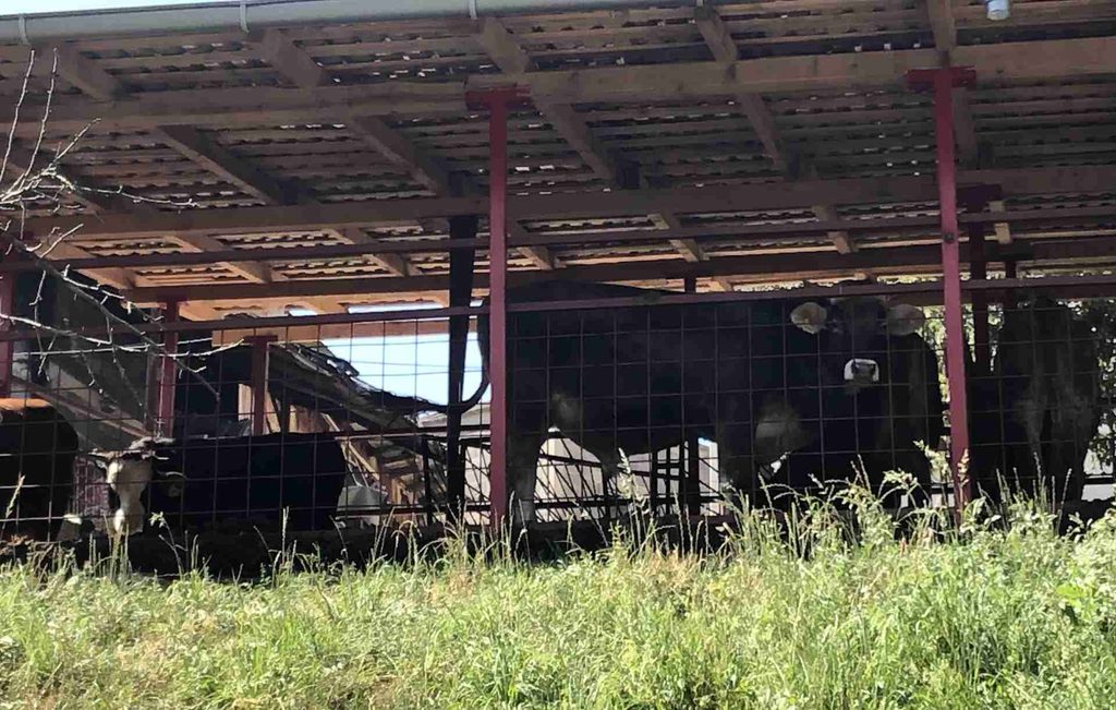
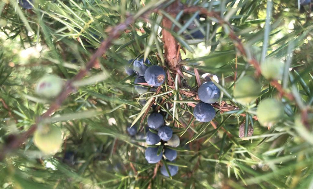
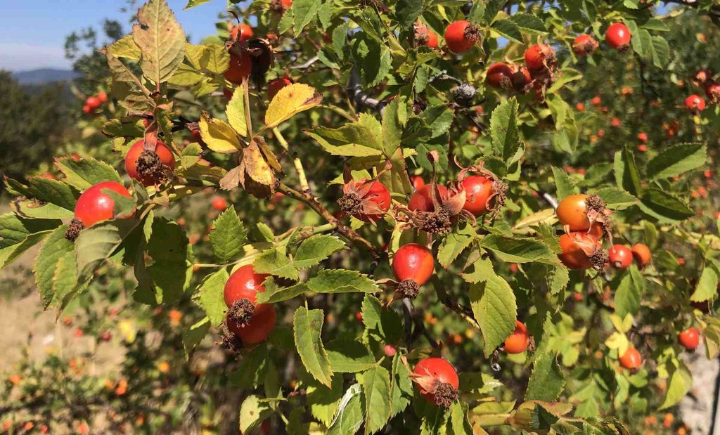
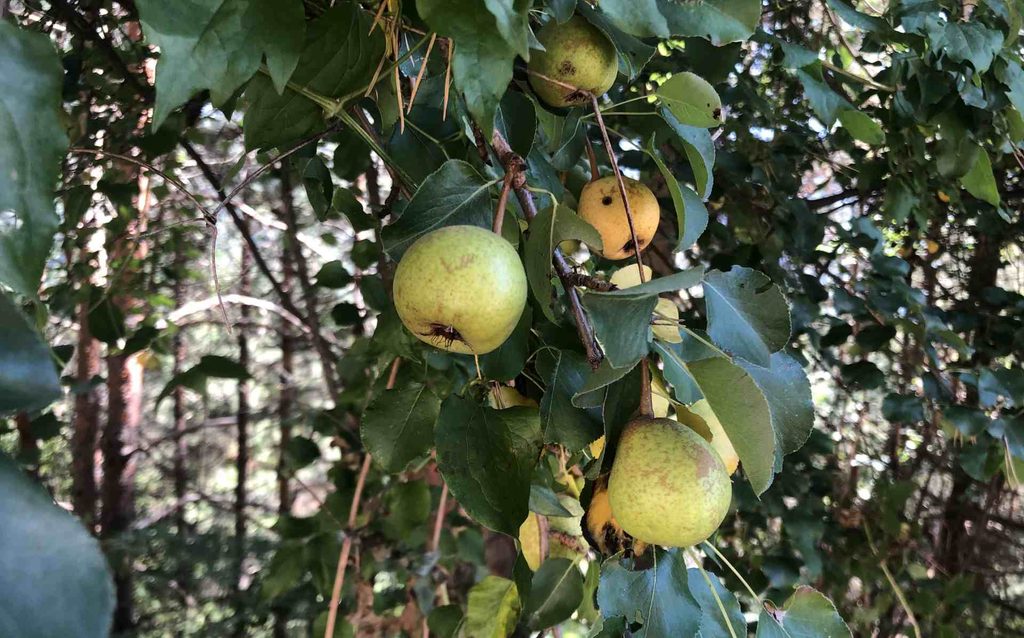
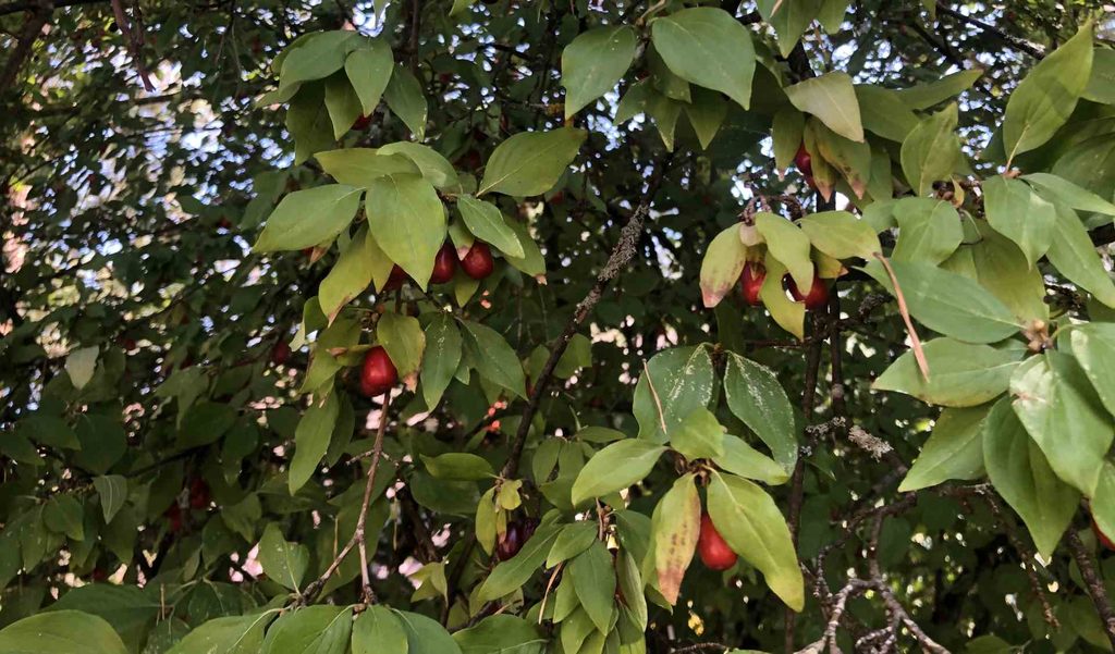
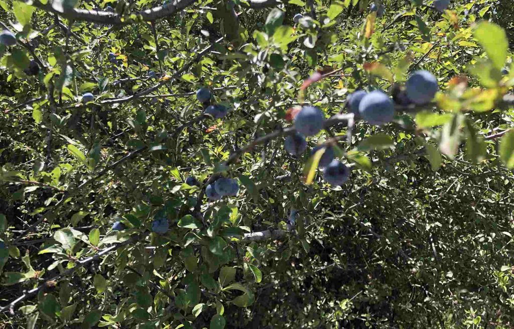
Near the end of the village, I passed animals such as cows and sheep. After that, the surroundings became more rural and wild. The elevation started changing quickly. There were many curves, and even for cars, this road did not look very comfortable. There were also many different fruits growing around the road, including plums, apples, wild roses, dogwood, and pears.
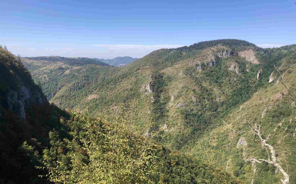
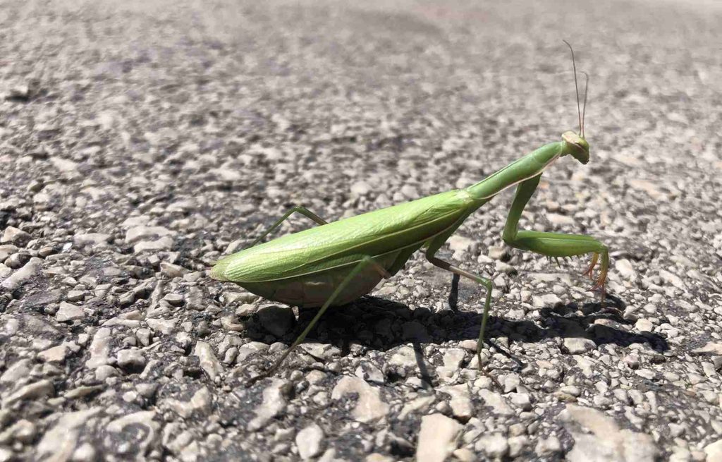
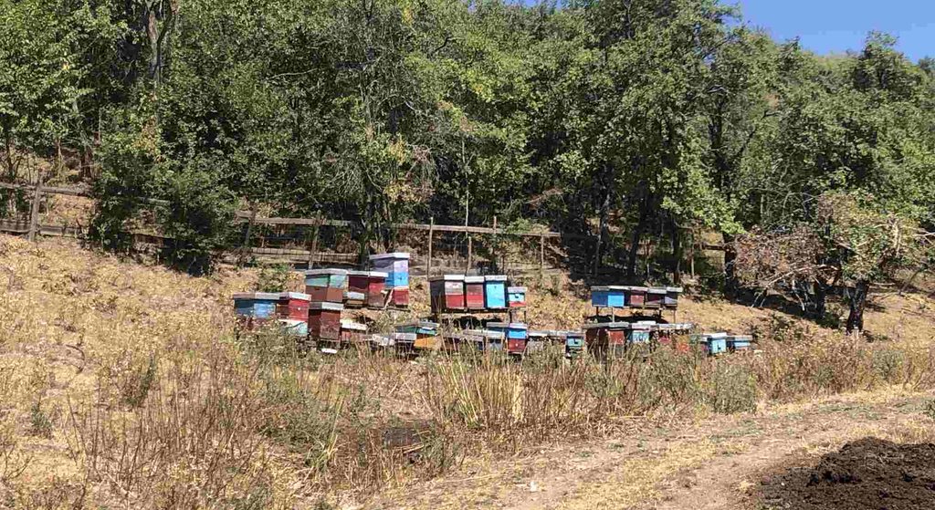
From this part of the route, the views of Sarajevo became much better because we were getting higher. There was also some summer haze, probably caused by dust and sand in the air. This can sometimes happen in the Balkans, so the views were not completely clear. It was also almost the middle of the day. I saw a praying mantis here, as well as sheep, bees, and cows.
Skakavac Waterfall
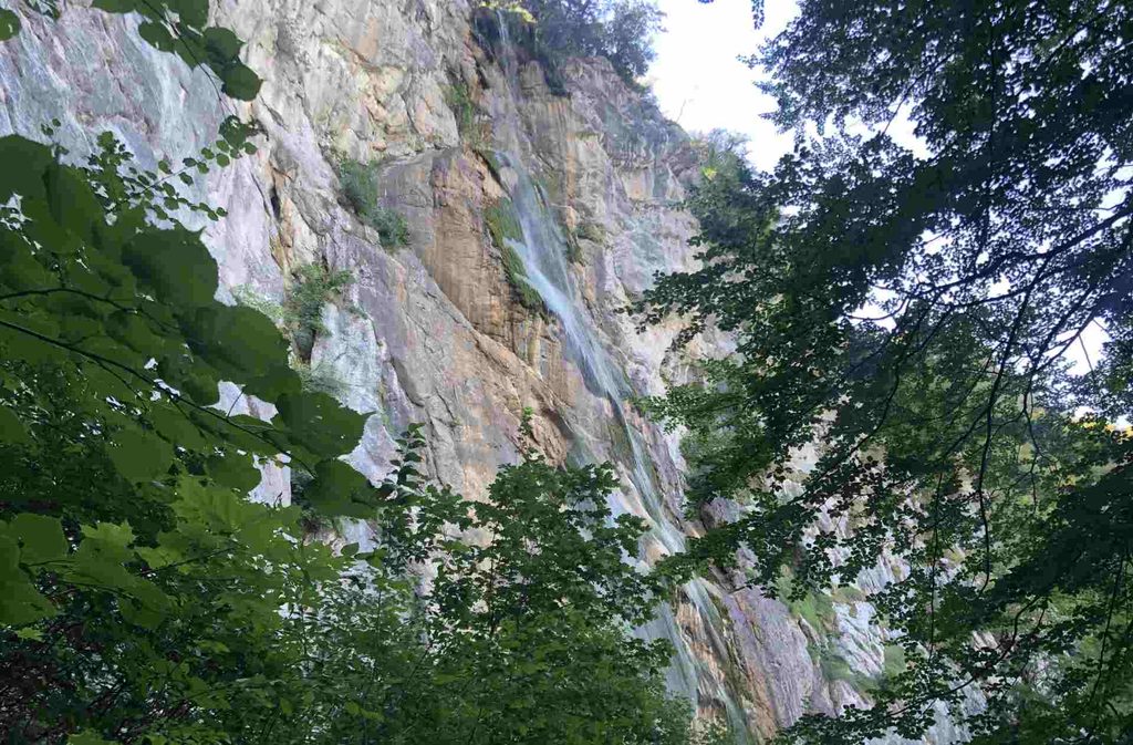
After about 20 meters of walking down from the viewpoint, I finally reached the waterfall. At that moment, I felt that my long walk and hike had been completely worth it. It was so refreshing. The temperature felt much lower than in the upper part of the hike, and there was a huge rock in front of me with water falling down from above. I also got wet because the waterfall created so many tiny water drops that it felt almost like fog.
I have never been to Niagara Falls, but from what I have seen in movies, the feeling reminded me of it. I refilled my bottle here as well, although some people told me that drinking this water is not recommended. I drank it myself, but I cannot confirm whether it is safe to drink. Afeter Waterfall I started to go down and I ran out of water again. From a distance, I saw a parked bus with its engine running, so I quickly walked toward it. I asked the driver if he could wait for me while I refilled my bottle, and he said yes.
The moment I entered the bus, he started driving. I felt lucky. I looked at the display inside the bus and saw that the temperature was 37.4°C. It was one of the hottest days of the summer. The bus saved me about 6 kilometers of walking downhill, which I was very happy about after such a long and hot hike.

Animals and iscects I met

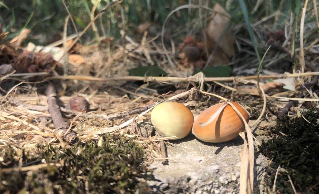
Fruits I saw
GPX Download