If you are looking for a nice place close to Sarajevo Old Town for a walk or trek, then this post is for you. I made this guide about my walk from Sarajevo Old Town to Kozja Ćuprija (Goat Bridge), including how to get there, what you can see along the way, how much time you need, and what the route looks like. I also took many pictures during the walk.
I have also included my GPX file if you want to be 100% sure about the route. You can download it and use it on your phone with a hiking or navigation app, or open it in a browser. The file is very compatible with most GPS applications.
My Route
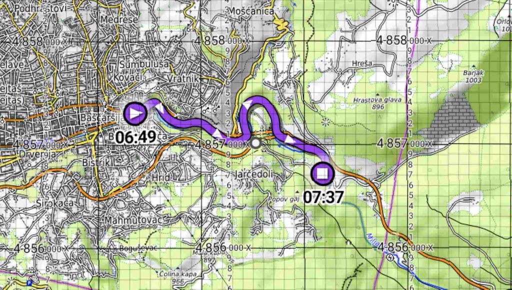
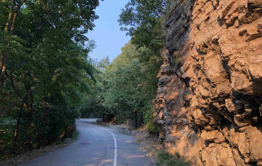
I started my route in Sarajevo Old Town, next to Vijećnica and Bentbaša. From there, I crossed the area with restaurants and hotels and continued walking along the river towards Dariva. Along the way, I passed the monuments and linden trees dedicated to ambassadors, and then continued towards the picnic area called Izletište Miljacka.
After that, I continued along the route towards the children’s playground and eventually all the way to Kozja Ćuprija (Goat Bridge). The trek itself is quite rewarding because there are many interesting things to see along the way, as I will show you further down in this post.
This route is also historically important. During the Ottoman period, it was part of the road connecting Sarajevo with Istanbul, which was then the capital of the Ottoman Empire. The route follows the Miljacka River, the most important river in Sarajevo. The river runs through the city and divides it into two parts, with many bridges connecting the two sides.
The route is about 3.64 kilometres in one direction. It took me around 45 minutes to reach Goat Bridge, and almost the same amount of time to return. The terrain is mostly flat, with only a light inclination that is not difficult to feel. I returned to Sarajevo Old Town using the same route.
Two National Monuments, and One of the Oldest Institutions in Sarajevo
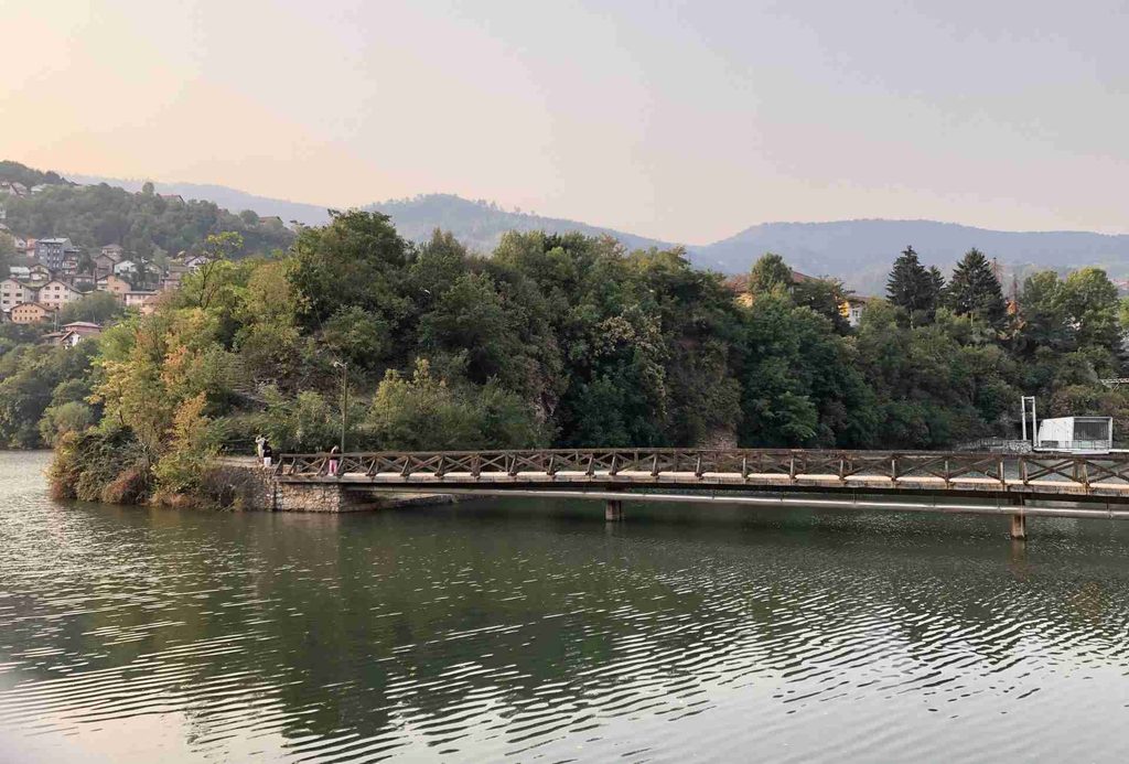
Probably one of the most interesting things for me was that I passed two national monuments during this route. One of them is located near the beginning of the trek, around Bentbaša and the small lake. It is connected with Isa-beg Ishaković, the founder of Sarajevo. The site is associated with a zawiya (religious lodge) established by Isa-beg. Historical sources mention a hostel next to the zawiya as early as the 15th century.
The area around Bentbaša is also a very pleasant place to stop for a while. When I was there, I even saw one person fishing. There are also old photographs of Sarajevo showing people jumping into the Miljacka River in this area. It is interesting to compare those old scenes with what the place looks like today.
The second national monument on my route is Kozja Ćuprija (Goat Bridge), located at the end of the trek. I will write more about Goat Bridge later in this post, but for now it is worth mentioning because it is the main destination of this walk.
A Linden Tree for Each Ambassador
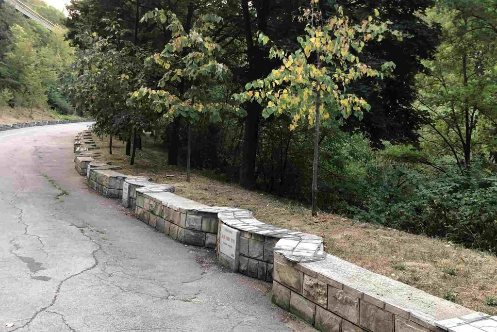
At the beginning of the trek, there are small table-like stone monuments dedicated to ambassadors who served in Bosnia and Herzegovina. There are many of them. Each monument has the ambassador’s name and years of service, with a linden tree planted next to it. There are also benches where you can sit next to the monuments.
This part of the route is very close to the city centre, so I believe the benches can become quite busy during weekends and warm summer days. It is an interesting little part of the walk that you might otherwise easily miss.
Picnic Areas on the Miljacka
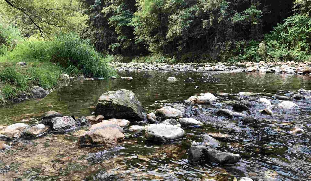
There are also two picnic areas along the route. One of them is located directly next to the Miljacka River. You can also see the exact place where I went down to the river on my GPX track. Being right next to the water makes this a relaxing place to stop for a while. You can sit and listen to the sound of the river. There is also a little house (šadrvan) next to the river, although it looked a little old when I visited.
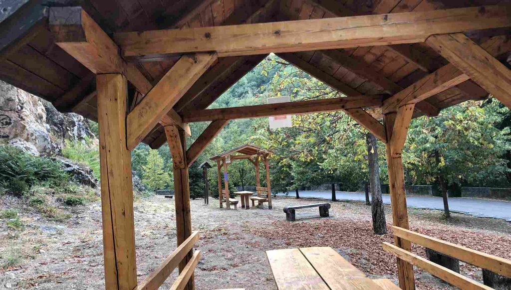
The second picnic area is located next to the main walking route. It has three šadrvans and several places where you can sit. There are large signs saying that making fires is not allowed, so these are places for having a picnic rather than making a barbecue. They seemed like nice places to sit and spend some time with friends.
Rocks on Dariva
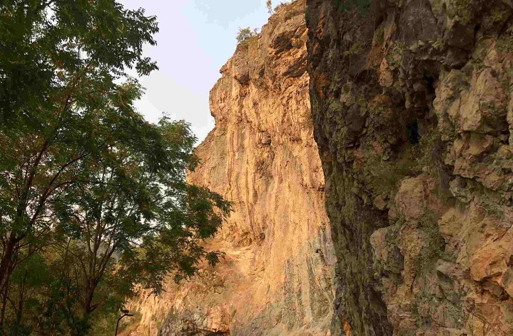
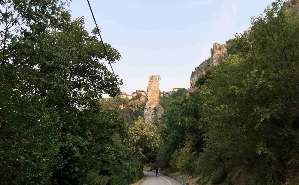
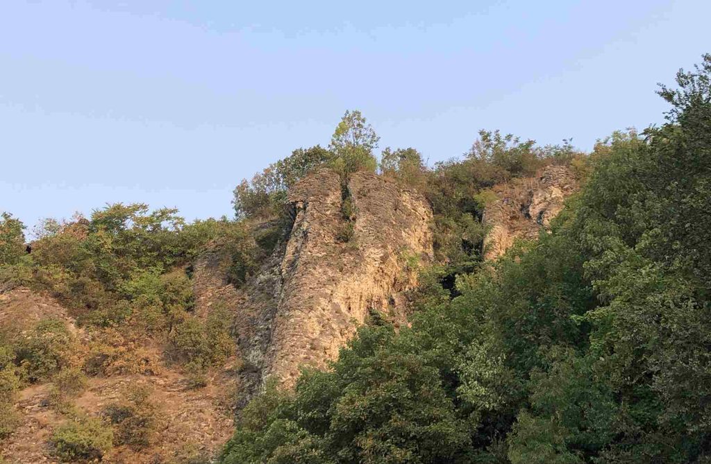
There are several large rocks along the Dariva route, and some of them are used for speleology and other activities. I also noticed several monuments dedicated to people who died here. Seeing them made me think about how powerful and sometimes cruel nature can be. The rocks themselves are impressive. Some of them look huge and magnificent, especially when they are illuminated by the sun. I was lucky to visit on a sunny day when the rocks were beautifully sun-kissed.
Playground and Caves
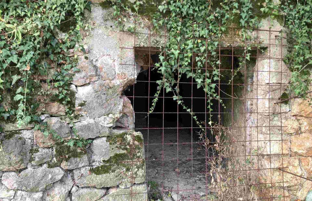
There is also a children’s playground along the route. There is another area that is more suitable for adults, with simple outdoor exercise equipment. It is basically a small outdoor gym where you can stop and exercise.
Along this part of the route, there are also information boards. Some of them mention that snakes can be found in the surrounding area, so it is worth being aware of your surroundings, especially if you leave the main path.
The combination of rocks, trees, the river, playground and outdoor exercise area makes Dariva quite different from simply walking through the streets of Sarajevo.
Water Spring
I noticed only one water spring along my route. It is located close to the end of the trek, near Kozja Ćuprija. I am not sure whether the water is officially considered safe to drink, but I drank some myself and it seemed completely fine. However, I would recommend checking locally before drinking from it yourself, as the quality of spring water can change.
Goat Bridge
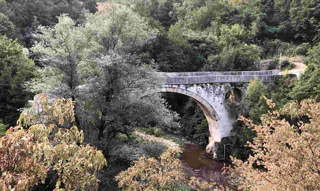
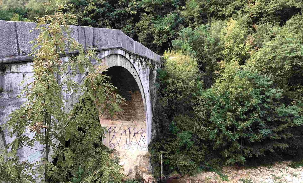
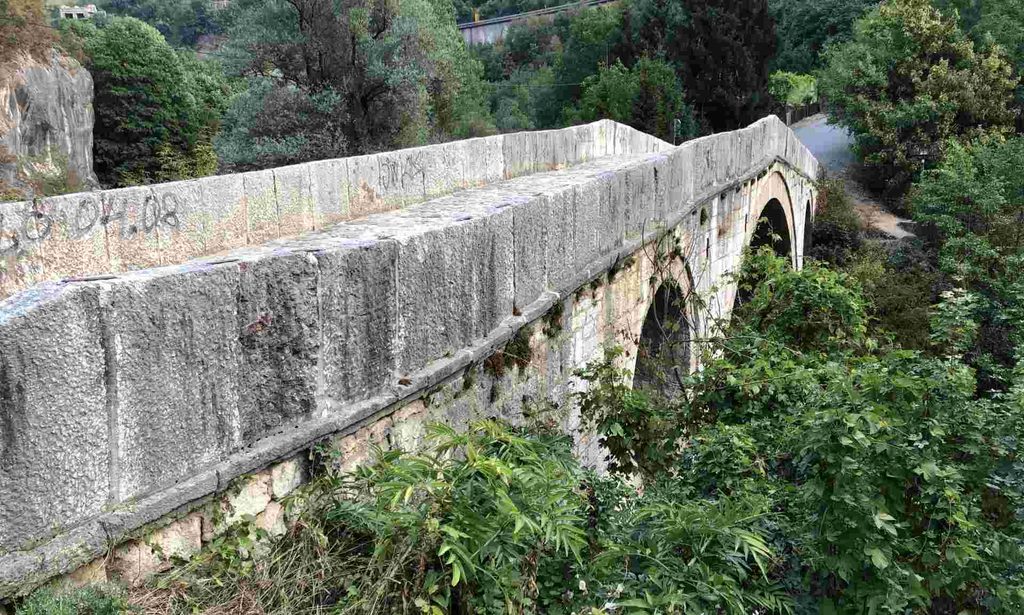
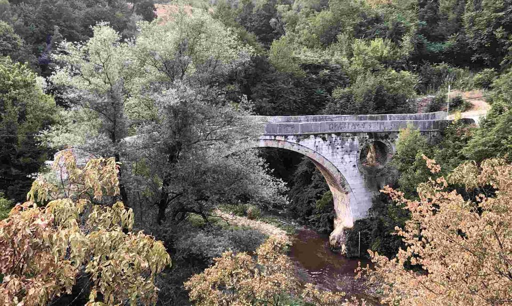
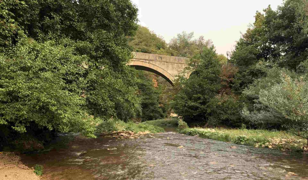
This was the final destination of my trek. Kozja Ćuprija (Goat Bridge) is a national monument of Bosnia and Herzegovina and one of the most important surviving Ottoman bridges in the Sarajevo area. The bridge is approximately 7–8 metres above the Miljacka River and looks really impressive when you see it in person. After crossing the bridge, you can go down towards the river for a closer look at the Miljacka.
You can also walk a little further up and to the right, where there are rocks that provide a better view of the bridge. I marked my movements on the GPX track, so you can see exactly where I went during my visit. For me, Goat Bridge was a very good ending to the walk because the route gradually takes you away from the busy city and towards a much more natural and historical environment.
Flowers
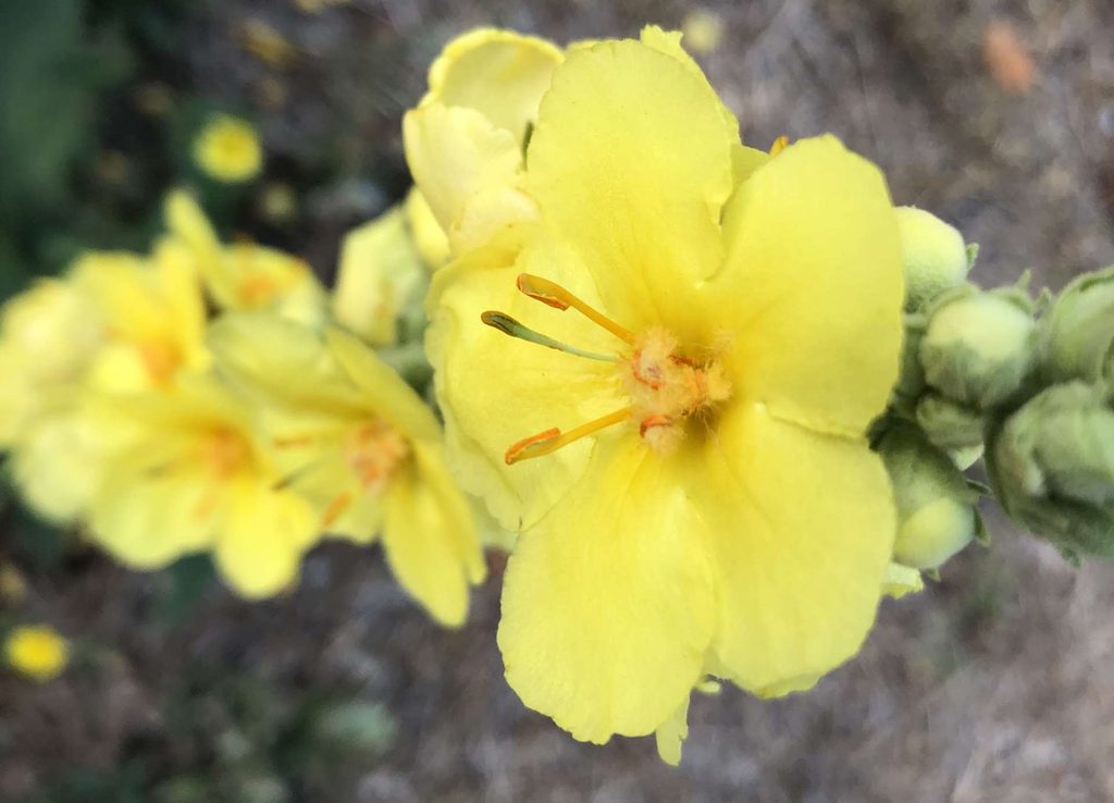
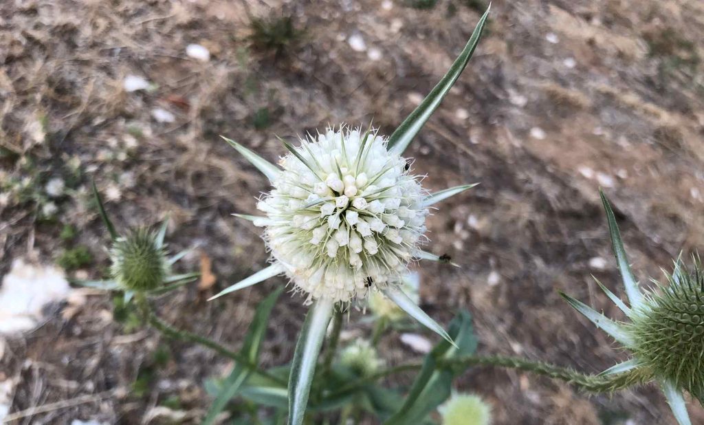
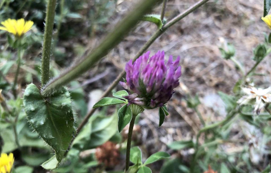
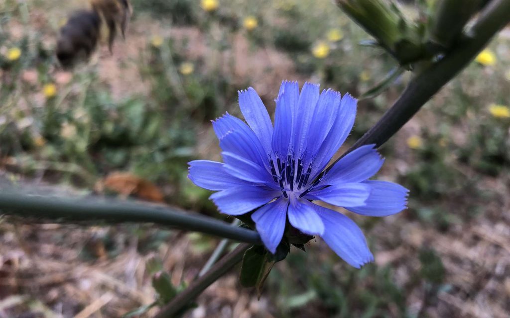
As usual during my hikes and walks, I also took some pictures of wildflowers that I found along the way.