I explored Trebević Mountain by walking from Sarajevo city itself to Trebević Peak this time. On my previous visit, I went to the peak by Cable Car and started my hike from Pino Nature, taking a more direct route. Here I am sharing everything I found along the way, including practical advice and my two personal GPX files, which you can download and use for free.
If you don’t want to miss some of the interesting places on Trebević, I recommend reading the whole article. This was a 25 km long hike. My route and GPX track started at Vilsonovo in Sarajevo and went around Vraca, Sunnyland, Pino Nature, Dobre Vode, Trebević Peak and Jure Franko. From there, I went back down towards Dobre Vode and Ravne, then continued to the Cable Car, the Bob staza, Bistrik Kula and finally down through the upper villages towards Vijećnica.
You don’t need to follow my entire route, but I found it very helpful to have the GPX track on my phone because the trail is not always clearly marked, especially around Dobre Vode if you want to make a circular route, near Jure Franko, and on the way down through the upper villages.
There was also a wildfire on Trebević on the day I hiked, which I will explain in more detail below. My starting elevation was around 504 m, while the highest point, Trebević Peak, is 1,629 m. This article is therefore not only about hiking to Trebević Peak. It is also about exploring Trebević and the places you can visit along the way.
In this article
- Trek length
- GPX Download
- How well the track is marked
- Vraca Memorial
- Sunnyland
- Ruined buildings
- Pino Nature – Prvi Šumar
- Trebević Peak
- Jure Franko
- Cable Car
- Bob staza
- Bistrik Tower
- Going down
- National Monument and Vijećnica
Trek length
If you go by car to Pino Nature, which I recommend if you want to save time and energy for exploring the mountain, it takes about 2 hours to reach the Peak from Pino Nature, and approximately 4 hours from Sarajevo City.
The Cable Car will save you a lot of time and energy. If you take my route from the city, however, the hike is much longer. You can still use my GPX track even if you don’t want to walk the entire 25 km route.
How well the track is marked
The track is mostly well marked, but there are several parts that can be confusing if you want to make a circular route. For example, around Dobre Vode, there is no obvious sign showing that you can continue towards the peak via Princeza. At the peak, there are also no very clear signs showing that you can continue along the rocky ridge towards Jure Franko.
Around Jure Franko, it also took me some time to find the route going down. Below the Cable Car, it is not immediately obvious which route you should take towards Vijećnica. Once you reach the upper villages, there are again several places where it is difficult to know which way to turn. I would say that the trail is generally marked, but it could definitely be improved in some sections. This is one of the reasons I recommend having a GPX track with you.
From where to start
There are multiple ways to start your hike to Trebević Peak. The most popular option is from Pino Nature / Prvi Šumar. You can reach this area by Cable Car and continue hiking towards the peak, or you can drive there by car. There is parking in the area. Another option is to hike from Sarajevo city itself. On the way, you will eventually reach the Pino Nature / Prvi Šumar area. There are multiple ways to get from the city to Pino Nature. In my GPX files, you can find two different routes: one that I used when going up and another that I used when coming down.
Circular Route GPX
I strongly recommend taking a circular route instead of going up and down the same path. You will see much more of Trebević, you won’t have to walk the same trail twice, and if you take a circular route, visiting Jure Franko Mountain Hub can be a great reward along the way. This is my own GPX file, and I have personally walked the route. It is compatible with apps that can open GPX files, including apps you can use in a browser or on your phone.
It can also be useful if you are going to Trebević by Cable Car because my route passes through the Cable Car area before continuing back towards Sarajevo. The problem is that navigating a circular route can be more difficult because some sections are not clearly marked.
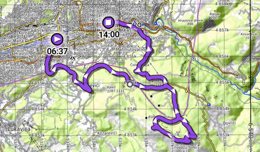
For that reason, I strongly recommend using my GPX track if you decide to do the circular route.
Vraca > Sunnyland > Pino Nature > Dobre Vode > Princeza > Trebevic Vrh > Jure Franko > Dobre Vode > Pino Nature > Zicara > Bob Staza > Bistrik Kula > Alfikovac > Inat Kuca
Pino Nature to Trebević Peak via Jure Franko GPX
There is also another route I took on my previous visit. It is a more direct route via Jure Franko and is mostly marked. You can download this GPX file and use it for free.
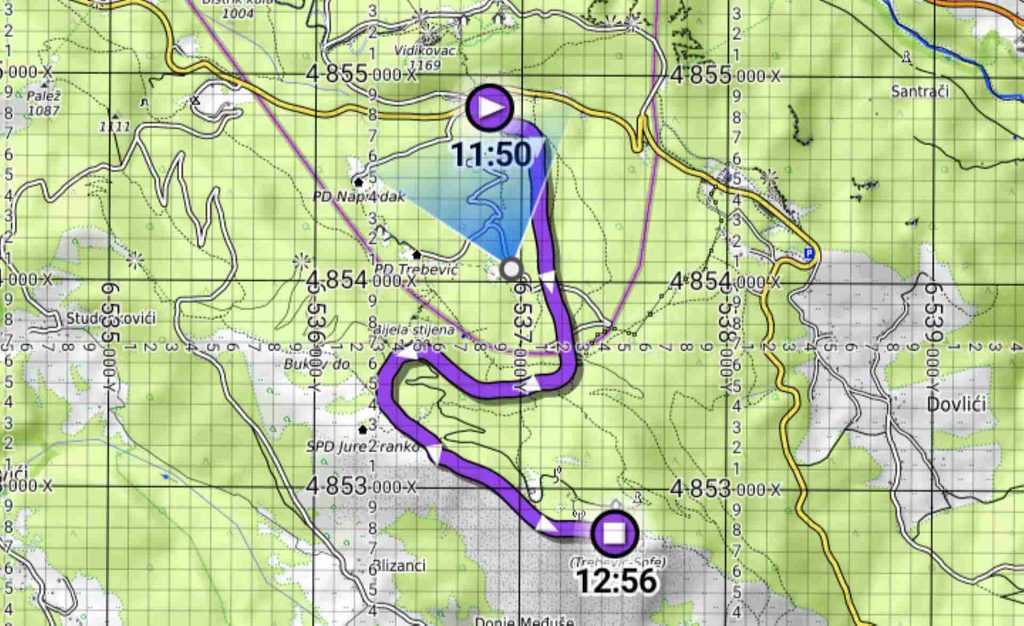
I felt that this route was a little faster, although I am not completely sure. The final section along the rocky ridge near the peak is more demanding, mostly because of the rocky terrain and walking conditions.
Pino Nature > Dobre Vode > Jure Franko > Trebevic Peak
Vraca Memorial
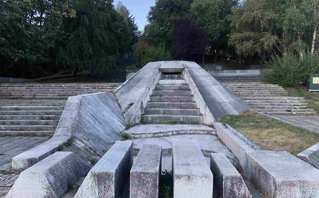
I planned my route to visit as many interesting places as possible on the lower slopes of Trebević so I could have a more complete experience of the mountain. The first place I visited was the Vraca Memorial. It is a memorial complex dedicated to the people who died as partisans during World War II in Sarajevo. It was once one of the most important monuments of its kind in Yugoslavia.
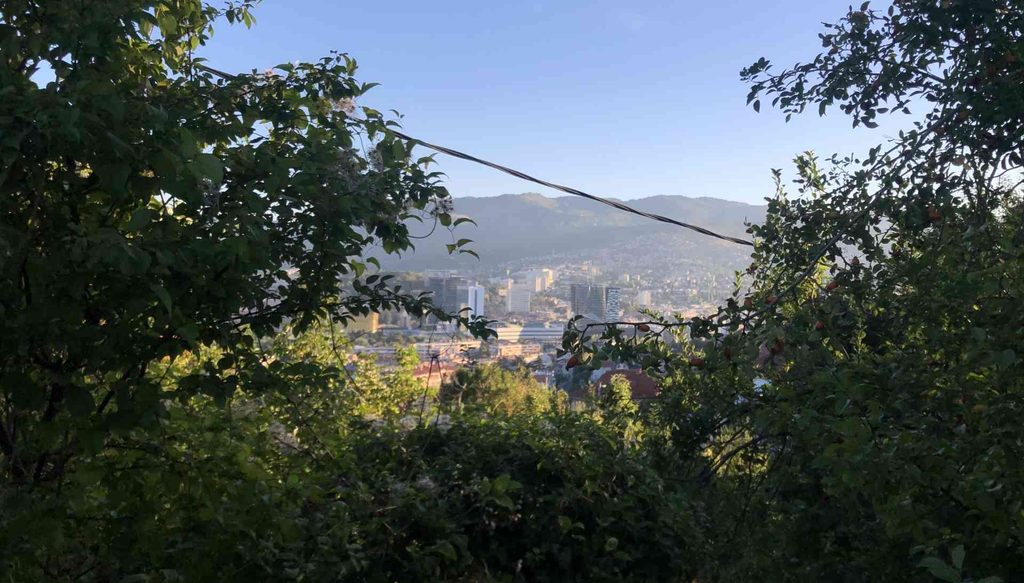
The location also offers an amazing view over Sarajevo. There used to be an eternal flame here, although it is no longer working. There are many stairs where you can sit and rest, and the whole area is quite large.
Sunnyland Trebević
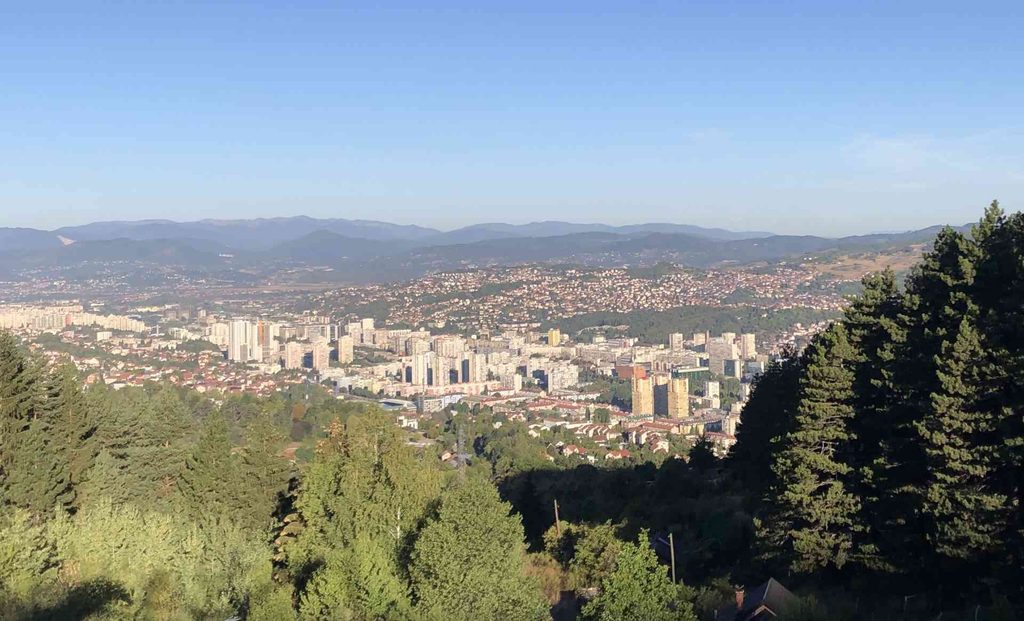
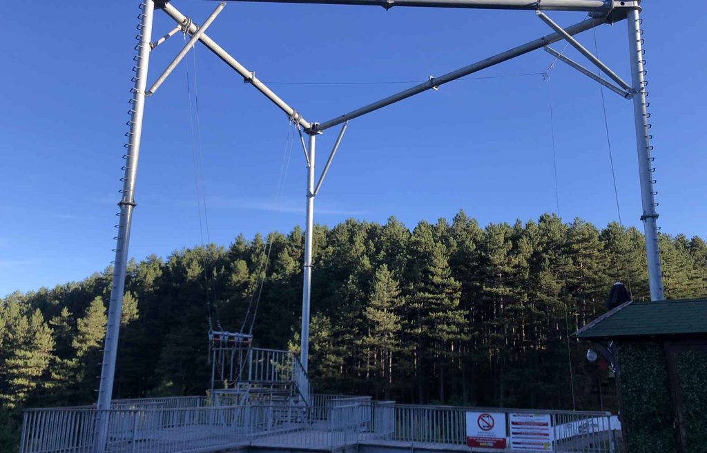
Sunnyland is probably one of the places on Trebević that offers the most activities. It is also one of the most popular places in the Sarajevo area, with an amazing view over the city, cafés and restaurants, an adrenaline park and other attractions. I believe it is a cool place to visit, although on this hike I continued because the peak was still waiting for me.
Ruined buildings
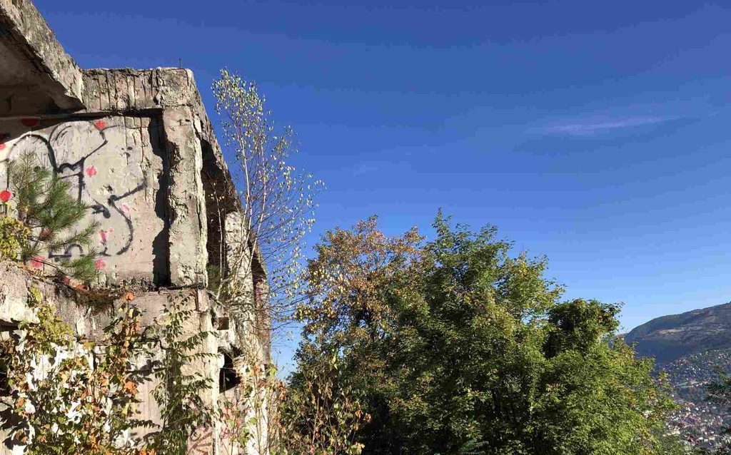
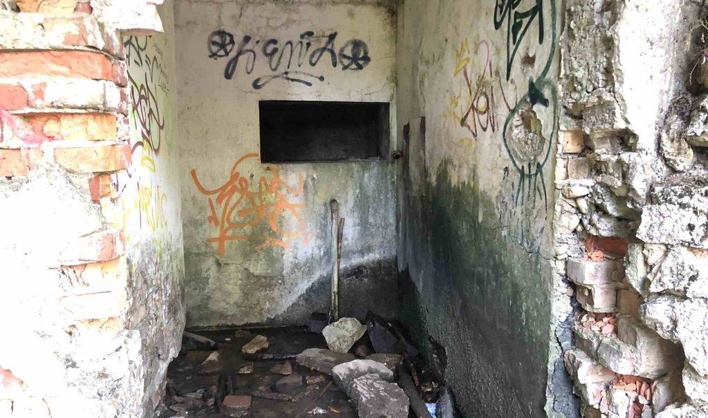
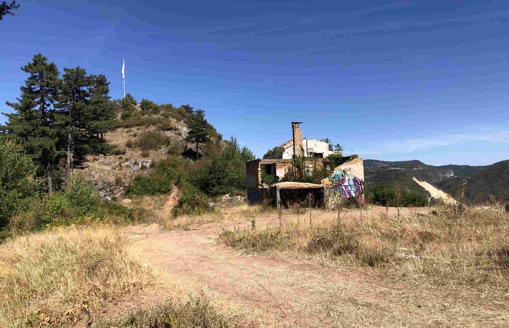
There are many ruined buildings along this part of Trebević, mostly connected with the war. Some are completely abandoned, while others have been rebuilt or are currently being reconstructed. Out of curiosity, I entered one of them.
Inside, I found what looked like animal remains, or perhaps something that had been left there by someone. I did not like what I saw, so I decided not to enter any of the other buildings along the way. There are quite a few abandoned and ruined structures around Trebević, so I would personally be careful about entering them.
Is it fire?
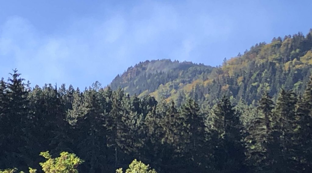
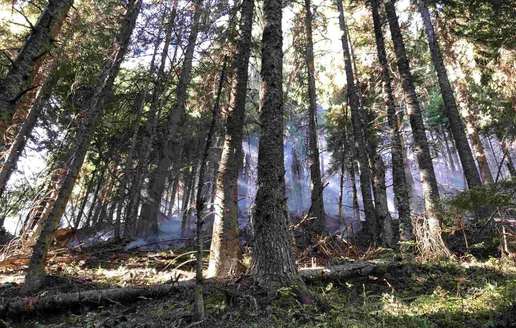
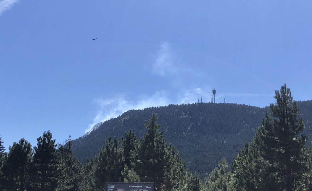
From the road, I noticed something that looked like smoke coming from the mountain. Usually, at this early hour, I would expect to see more fog, but there was no dawn fog that morning. I wasn’t sure what I was seeing, but I continued hiking. Later, I discovered that there really was a wildfire on the mountain.
Pino Nature – Prvi Šumar
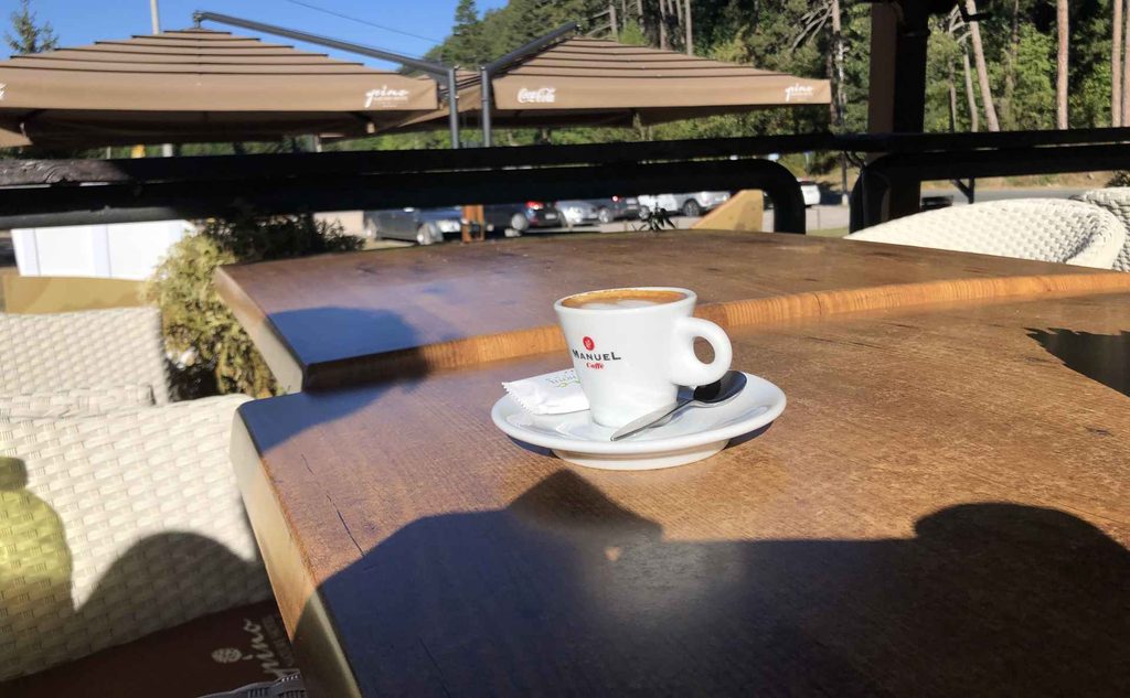
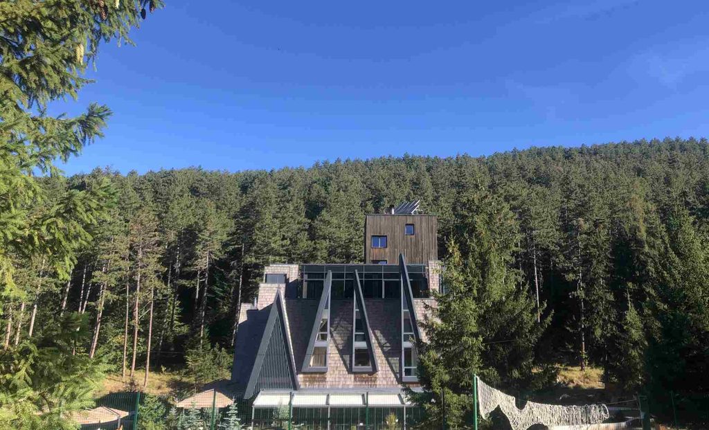
After more and more walking, I finally reached Pino Nature / Prvi Šumar, one of the most beautiful locations on Trebević. I was the first person there that morning, while the staff were still preparing the tables. I had my first morning coffee there. It was probably an overpriced coffee, but after walking from Sarajevo, it felt pretty good.
This area is also one of the main starting points for hikers going towards Trebević Peak. If you come to Trebević by Cable Car, your hike will probably start here.
Going to Peak
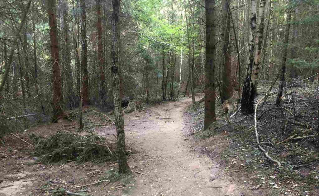
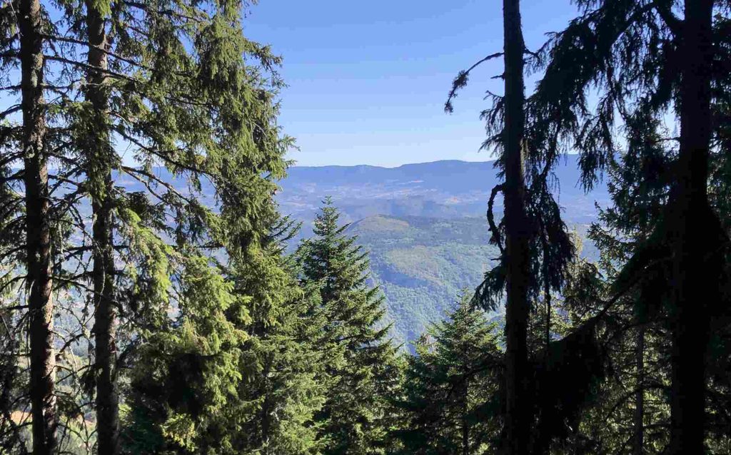
The first part of the hike was very enjoyable. The forest was dark and slightly cold, which actually motivated me to walk faster. There was no mud or particularly dirty trail because it was late summer and there had been no rain for some time. There was still water at the Dobre Vode spring, and you can find the location on my GPX track.
Wildfire at almost Peak
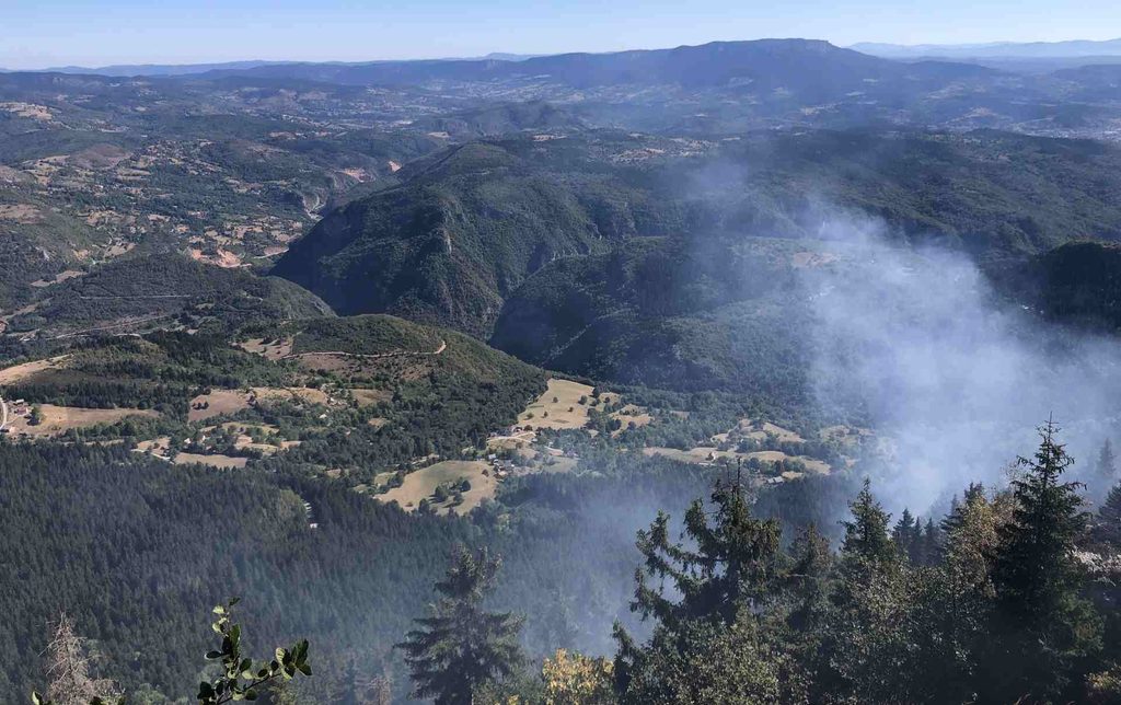
When I got closer to the peak, I discovered that there was a wildfire. Several hikers were already turning back because they did not want to continue towards the peak. For me, because this was not my first time on this route and I have some previous experience around wildfires, I judged the fire to be relatively low and continued.
However, please do not use my decision as an example. It is always much smarter to turn back when there is an active wildfire. Wildfires can become unpredictable very quickly. I could smell and feel the smoke during much of the hike towards the peak.
At one point, the fire was relatively close to my path, which made the situation dangerous for several reasons. First, heavy smoke can cause breathing problems, dizziness or even loss of consciousness, especially if you are alone and there is nobody nearby to help.
Second, a small fire can quickly become much larger, particularly on a mountain where wind conditions can change suddenly and spread flames. Third, Trebević is a mountain with a complicated wartime history, so you should never leave marked and safe routes or approach unknown areas simply because you are trying to avoid a fire.
As I explain in my separate article about landmines, hiking in Bosnia and Herzegovina is safest when you stay on marked and known routes.
Reaching the Peak
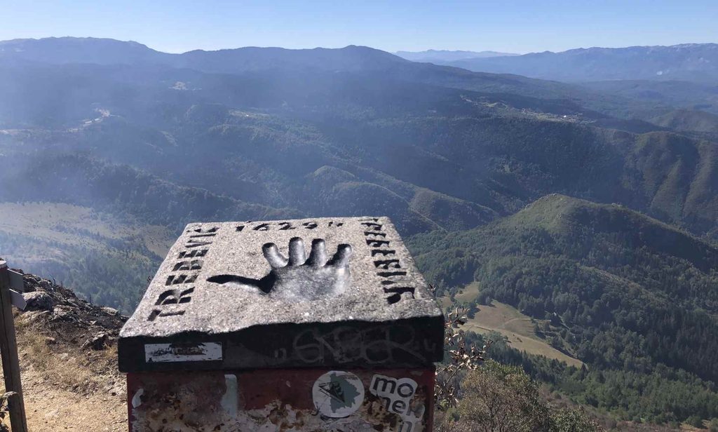
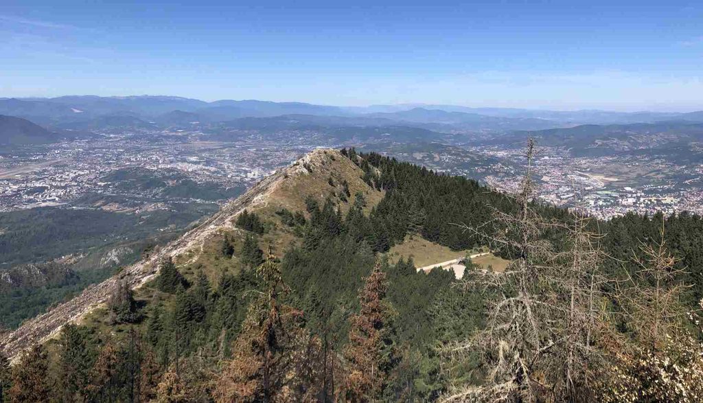
I finally reached the peak and could clearly see what the wildfire had done. There was a huge contrast between the burned section and the areas that were still green. The highest point of Trebević is 1,629 metres above sea level.
From the peak, you can see many mountains in different directions. There is also a small handrail where you can place your hand and take photographs.
Peak to Jure Franko
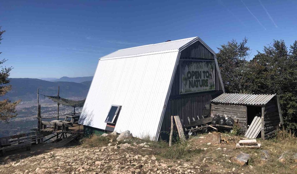
Going down over the rocky ridge is a serious and potentially dangerous part of this hike. For me, this was probably the most demanding section, and having proper hiking shoes is especially important here. After some time, I reached Jure Franko Mountain Hub.
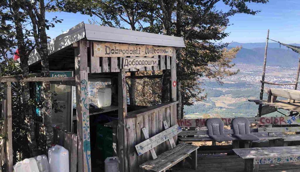
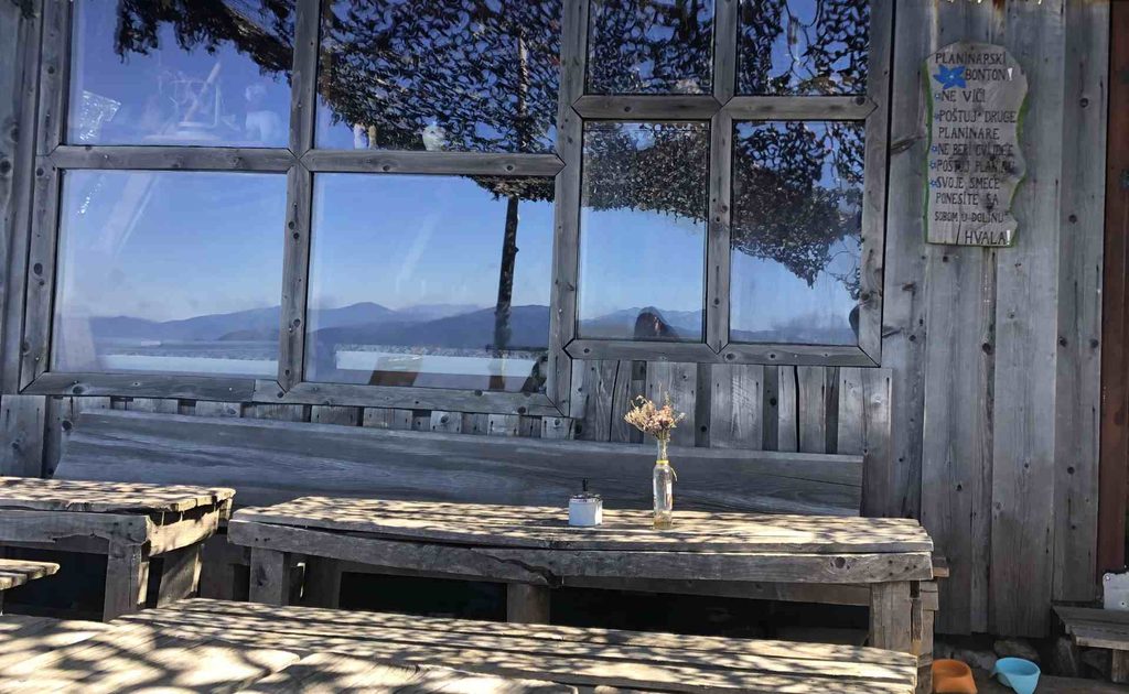
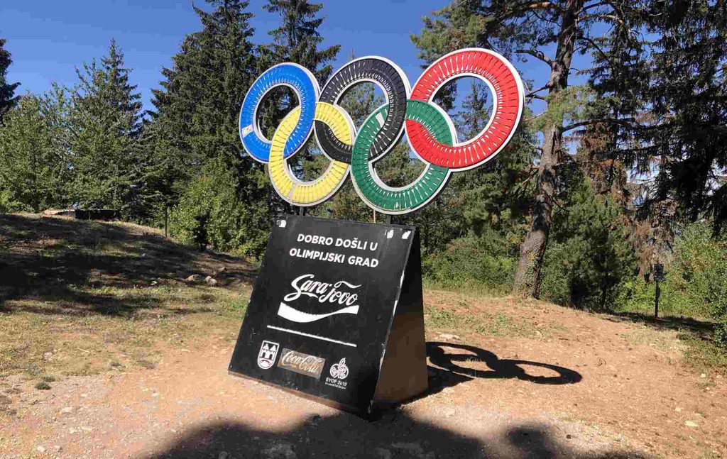
They told me I was an early bird, and I got a drink. The view from here is fantastic, and I definitely recommend stopping here if you have time. The staff are multicultural and speak very good English. I imagine this place can become very busy during weekends, although there is still plenty of space around it. The mountain hut is named after Jure Franko, the Slovenian skier who won a silver medal in giant slalom at the 1984 Winter Olympics in Sarajevo.
Going down to Cable Car
This was probably the most boring part of the trek for me because I was mostly just going downhill. Still, it was actually quite pleasant because it was hot outside but comfortable inside the forest. I eventually ran out of water, so I stopped at Dobre Vode to refill my bottle. By this point, I was meeting many hikers who were going in the opposite direction towards the peak.
Cable Car
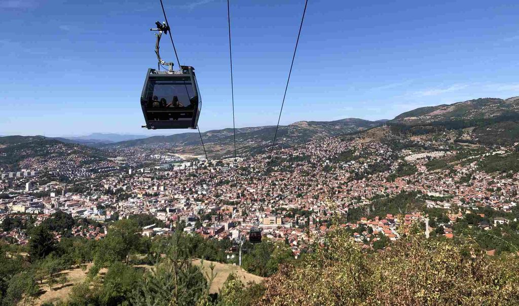
The Cable Car is one of the easiest ways to get up to Trebević and then continue hiking towards the peak. It saves a lot of time and energy compared with starting in Sarajevo. This is also the option many visitors choose. I took a short rest around the Cable Car area before continuing downhill.
There are usually plenty of tourists around here, many of them taking photographs with Sarajevo in the background. There is also an animal area nearby, and it is common to see horses around the mountain. There is a café on the Cable Car station roof, and the view of Sarajevo from here is excellent, although the wind can be quite strong.
Bob staza
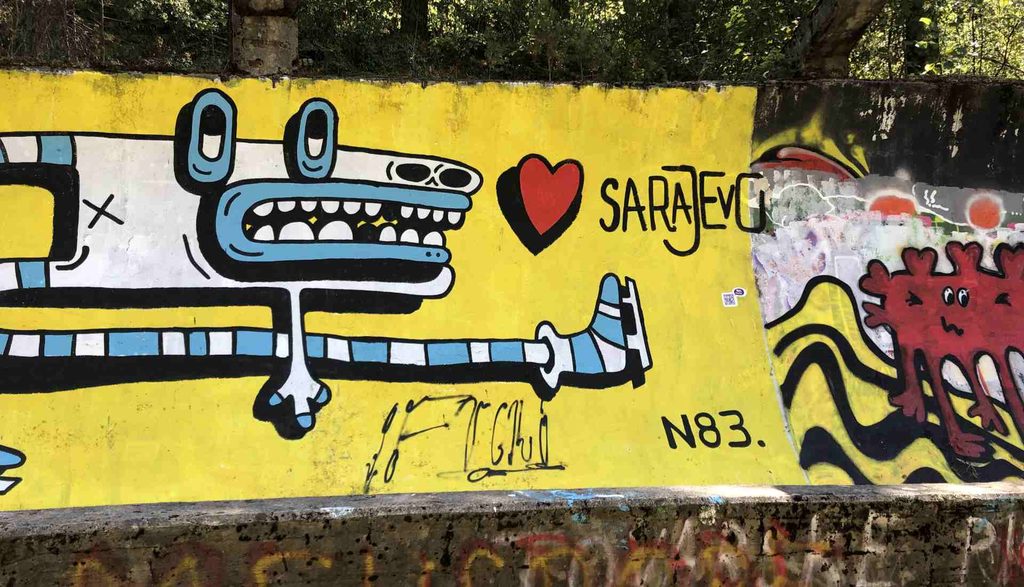
The Bob staza is another ruined structure that remains as a reminder of the 1984 Winter Olympics in Sarajevo. The good thing is that you can walk along parts of the old bobsled track and see the graffiti that covers many sections. The track itself is quite long, and some parts have become popular places for people to stop and have picnics. Walking along the old bobsled track is a very different experience from normal hiking, and I recommend exploring at least part of it if you have time. The Trebević bobsled track was one of the Olympic venues during the 1984 Winter Olympics.
Bistrik Tower
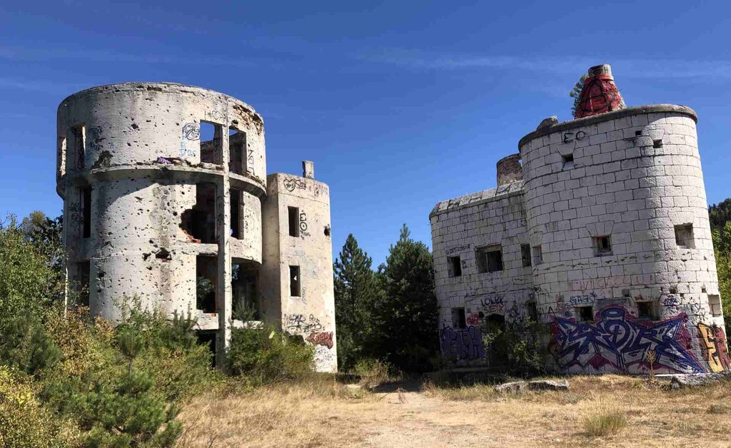
Bistrička Kula (Bistrik Tower) is an interesting historical location just below the bobsled track. The original fortress was built during the Austro-Hungarian period as part of Sarajevo’s defensive system. Later, the site became part of the astronomical observatory complex on Trebević. The observatory was developed between 1969 and 1972, with additional construction taking place later.
The observatory was destroyed during the war in the 1990s and the complex remains heavily damaged today. You can still see many signs of wartime damage on the buildings. I stopped to look at it because of its unusual shape and history, but I did not want to enter after my earlier experience inside one of the abandoned buildings.
Going down
Here it became a little tricky to find the trail again. I strongly recommend following my GPX track because there are several places where it is not obvious where you should turn. At one point, the route was easier to recognize because of a different colour of the ground. Since it was late summer, much of the grass was dry and burned from the long, hot summer.
Once I reached the villages, the trail became mostly asphalt with some surprisingly steep sections. By this point, I was tired and it was very hot. Even my shoes felt extremely warm, so I took many breaks in the shade. Again, the route through the villages is marked, but it is not always completely clear which direction to take.
National Monuments at the Ending
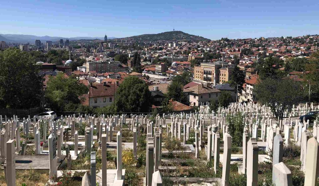
Near the end of the trek, I came across a cemetery that surprisingly turned out to be a National Monument of Bosnia and Herzegovina in the Alifakovac area. The cemetery contains Ottoman-era graves, and the location also offers very good views over Sarajevo. I found it interesting to stop and read about the history of the place. My final destination was Sarajevo’s Old Town, where I finished the hike around Vijećnica, Inat Kuća, Baščaršija and the Cathedral. After approximately 25 km of walking, I finally stopped to eat and ended my trek.
Flowers I found