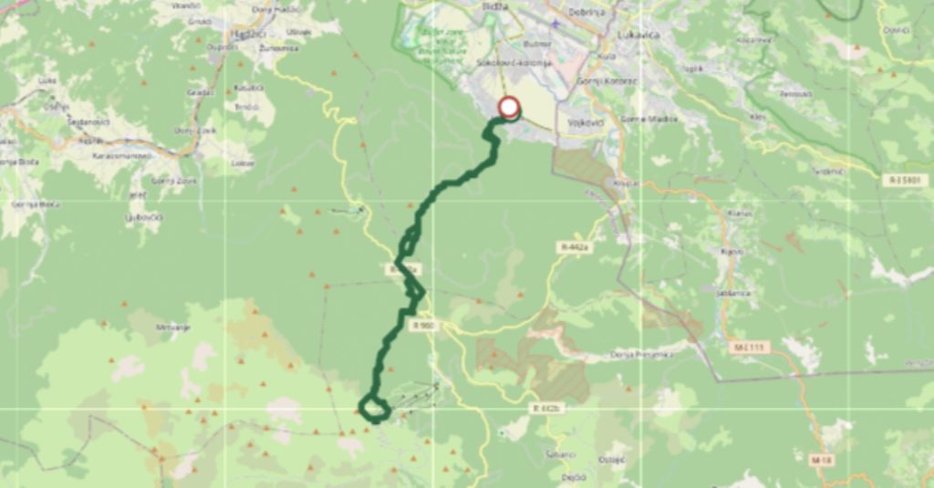
This is a detailed guide with my GPX included for a long hike from Sarajevo (Hrasnica) to Igman and Bjelašnica Peak via Igman: Hrasnica Bus Station – Hrasnički Stan – Ratna Džamija Igman – Veliko Polje Igman – Josipova Staza – Kotlovi – Bjelašnica Peak, and back on the same route with some small changes while exploring the area, as shown in my GPX.
Keep in mind that this is not the usual route. The usual routes are mostly Hrasnica to Igman, or Igman to Bjelašnica Observatory. I basically combined two or three routes into one, which made it a real adventure, because I relied on public transportation and also wanted to reach Bjelašnica Peak.
Important: There is no water on the road, except for one place at Veliko Polje, at a water tap next to the memorial.
Important: There is no regular public transportation going to Bjelašnica or Igman. Do not trust information you find on the internet. There are some seasonal lines that operate only during the winter season.
Important: The route I took is not for beginners, but my GPX can be useful for everyone because you can use it for two different routes: Hrasnica – Igman and Igman – Bjelašnica Peak/Observatory.
Intro: Bjelašnica and Igman
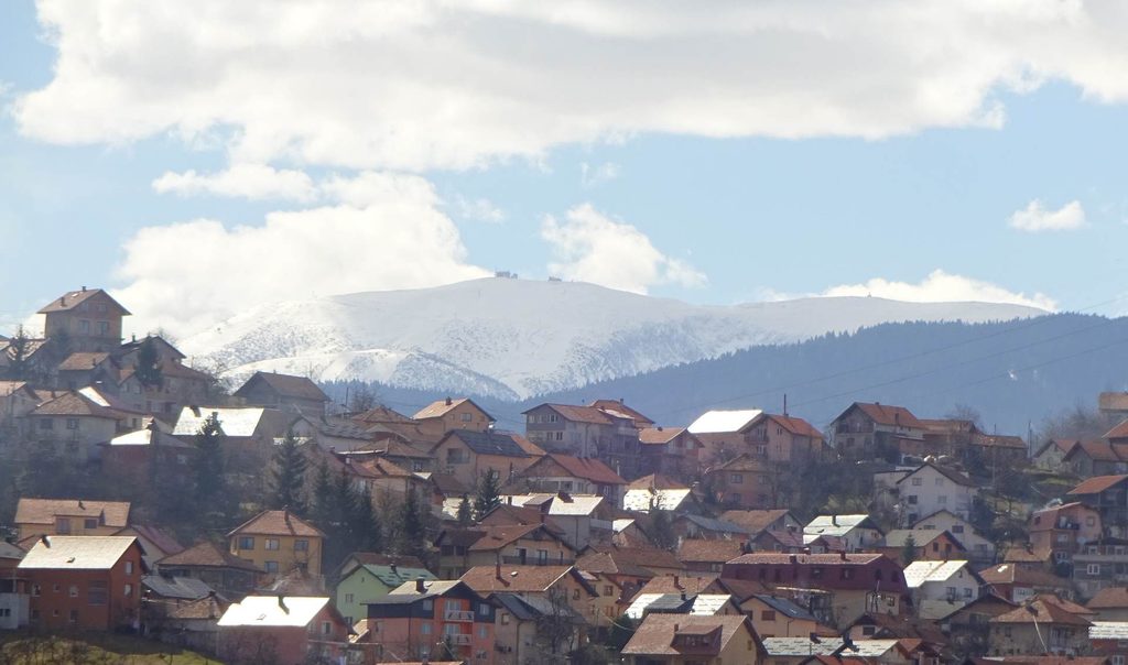
Since Bjelašnica is visible from Sarajevo, I believe it has always been a source of curiosity for people. I am sure people have imagined and wondered what is up there and what it looks like. More recently, people can also be thankful for all the snow and water connected with these mountains and the water systems around Vrelo Bosne.
Because of the karst landscape, there is not much surface water on the upper parts of the mountain. Rainwater can quickly disappear underground and eventually contribute to the water system around Vrelo Bosne and Igman.
They are officially two different mountains, but because they are part of one large mountain massif, and Igman somehow felt like the lobby of Bjelašnica to me, I will treat them almost as one in this article. My route also connected them together.
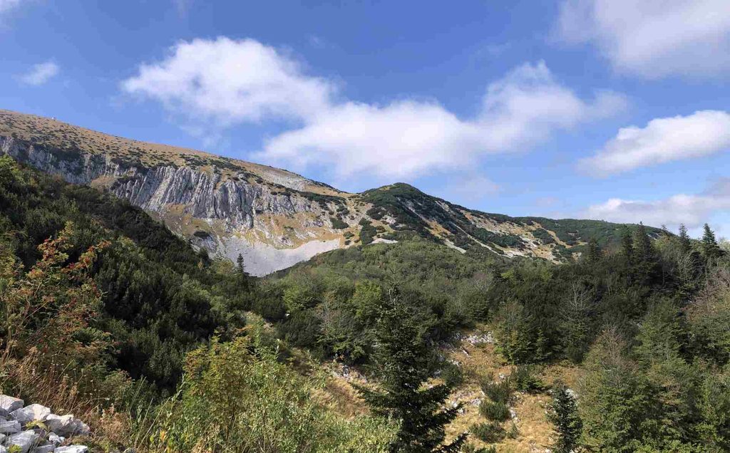
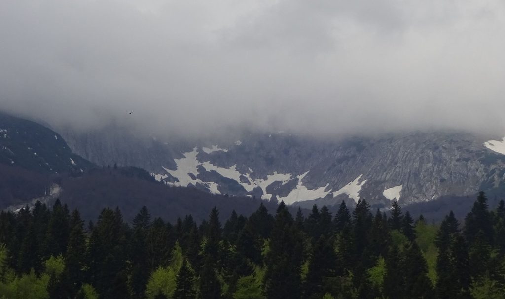
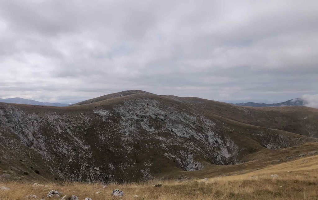
Bjelašnica means something like “white mountain” or “white peak,” because snow can remain on the mountain until May and sometimes even later. It is one of the most important mountains in central Bosnia and Herzegovina, with a meteorological station, recreation areas including Babin Do, a ski center and many weekend houses. It is a mountain that can be both beautiful and scary at the same time. Some parts of it look quite extreme, as you can see in my pictures below.
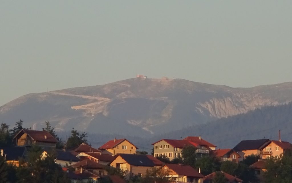
The Bjelašnica peak has a subarctic climate, which is quite incredible to think about. It also influences Igman because of a natural phenomenon called temperature inversion. Because of this, Veliko Polje on Igman can sometimes have colder and more extreme temperatures than Bjelašnica itself, despite the difference in elevation. There are also local stories about very cold conditions in this area and even a Siberian fox farm at Veliko Polje.
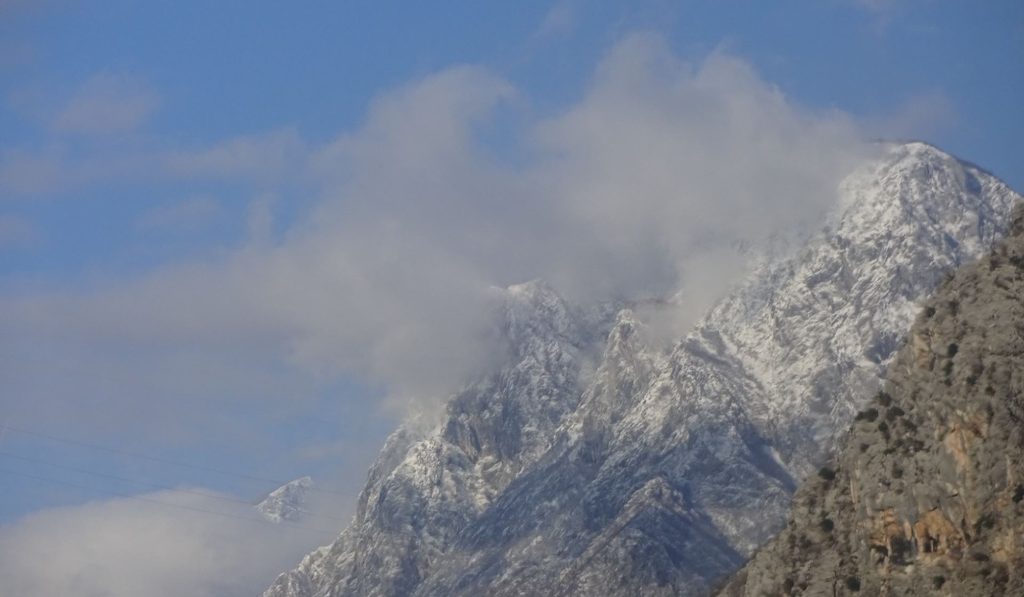
Both mountains are also Olympic mountains because the 1984 Sarajevo Winter Olympics took place here. A lot of infrastructure was built on Bjelašnica and Igman for the Olympics, including ski-jumping facilities, small and large buildings, biathlon and Nordic skiing trails, and many other objects.
They are also mountains where many people from Sarajevo go to learn skiing, spend weekends, have picnics or simply enjoy fresh air. Igman itself was sometimes called “Air Spa”, because of the quality of its air and because the mountain was used as a training area. You can find much more historical information about these mountains online, so I will continue with the more useful part for hikers.
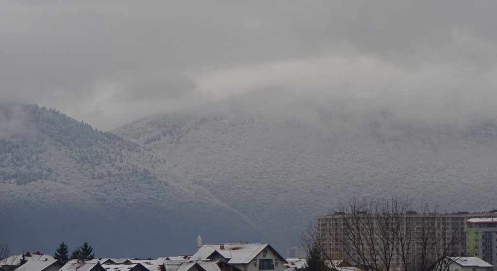
Starting point Hrasnica
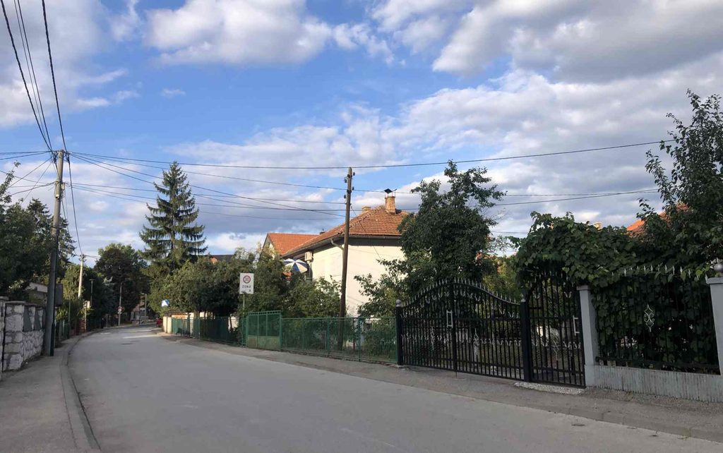
I went to Hrasnica near Ilidža with the Centrotrans bus “Vijećnica-Hrasnica.” The ticket was 2.20 KM. It is also possible to go there from the city by tram and then continue from Ilidža. It took me around 15 minutes to walk around Hrasnica and find the starting point of the hike. Finding the beginning was a little confusing because there are some red trail marks, but some important ones near the final turning are missing.
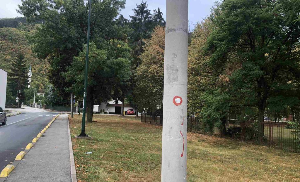
It was an early weekend morning and I saw almost nobody on the streets. My bus was also almost empty while I was going there. There are some markets and shops in Hrasnica if you want to buy something before starting the hike.
Hrasnica to Hrasnički Stan
Once I found the beginning of the route, I noticed a dog next to my legs. He was looking directly into my eyes. He became my guide through the most confusing part of the route, and I am very grateful to him. Because it had rained the night before, the whole forest and grass were wet. Within only a few meters, I was already wet too.
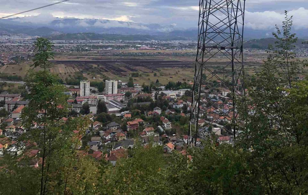
The first part of the route was pretty brutal. It was dark and wet, and drops of water were falling from the tree branches. I noticed that there were no other hikers in the area. The vegetation was quite high and there were thorny plants along the route, so it seemed that not many people were using this path. The inclination was also very strong. I gained around 600 meters of elevation in only a few kilometers.
Many trail marks were missing, and some were difficult to see because of the vegetation. They would probably be easier to see in winter when there are fewer leaves and plants. My dog guide helped me a lot. He seemed to know the route and waited for me at every important turning. Once I reached a wider forest road, the route became much easier to follow.
On the way to Hrasnički Stan, I also passed the Mountain Rescue Service (GSS), which is located close to Hrasnički Stan. There are some information boards about this part of the route, including “Straže Igmana,” which is connected with the war because Igman was an important mountain and route during the last war.
Hrasnički Stan to Veliko Polje Igman via Ratna Džamija
For me, this route itself seemed to be a common hiking route for some local hikers, but for me it was only the beginning. Elevation at Hrasnički Stan is 1315 meters. From Hrasnički Stan to Veliko Polje there is not much climbing. The route is mostly flat across the Igman plateau and then descends toward Veliko Polje, which is flat again.
The route mostly follows forest roads. Some of these roads are still in use, while others have not been used for more than 30 or 40 years. After some hiking, I came across the War Mosque (Ratna Džamija). It was built during the last war, completely from wood, and hidden inside the forest. Around this road there are also many “vrtače,” which are karst formations connected with the karst landscape of Igman. I also mention them in another article about unusual things in Bosnia
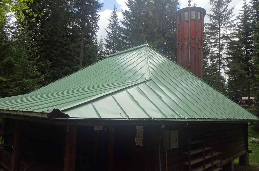
My guardian dog left me here
My guardian dog left me around Ratna Džamija. I was thankful for his help because he had guided me through some of the most confusing parts of the route.
Veliko Polje
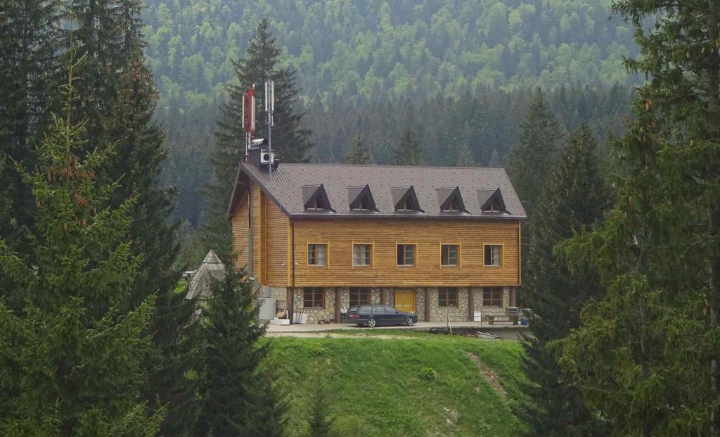
Veliko Polje, or Big Field, is a large field on Igman that stretches for several kilometers. It is one of the most popular weekend destinations for people from Sarajevo. People come here for barbecues, picnics, sports and simply to spend time outside. There are also some hotels and restaurants in the area.
There is an interesting story from the Austro-Hungarian period that this part of Igman was so cold that polar or Siberian foxes were raised here. There is also the phenomenon called temperature inversion, which can make Veliko Polje colder than the Bjelašnica peak. This is quite crazy to think about because of the large difference in elevation.
There is also Malo Polje nearby, with skiing infrastructure, but I did not visit it on this hike. There are also monuments connected with the Igman March, one of the most famous stories from the Second World War, when the mountain was an important route for people trying to cross the area.
There is only one water source on the whole route, and it is basically here at Veliko Polje, just before turning onto Josipova Staza (Josef Trail).
Veliko Polje to Kotlovi via Josipova Staza
This is one of the most popular routes from Igman to Bjelašnica. It is named after Josef. The route itself is very well marked, especially compared with the first part of my hike. At the beginning of the route, I crossed Primeval forest “Ravna Vala”, where there are many old trees.
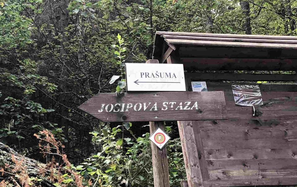
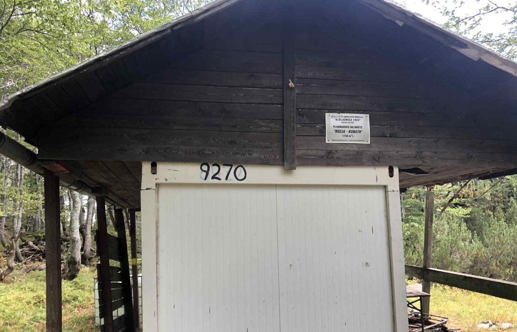
The route itself is mostly inside the forest. The first part follows a macadam road where even cars can drive. Eventually, the trail turns onto a much smaller forest road and continues like this toward Bozja – Kunath and Kotlovi. This route has many benches named after different historically important people connected with Bjelašnica.
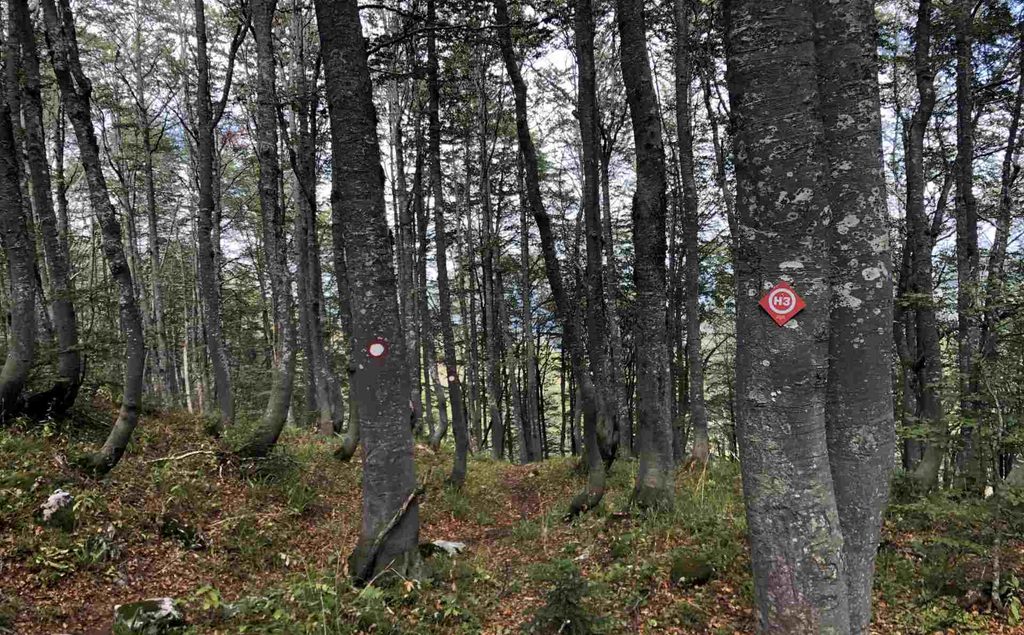
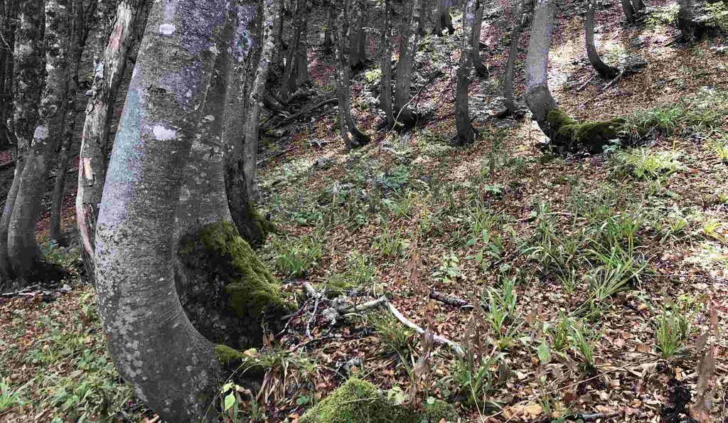
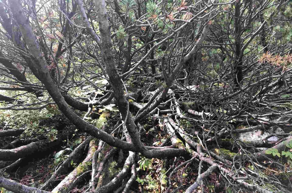
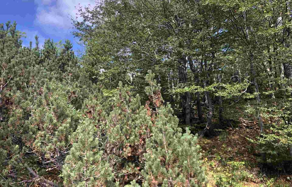
I entered an alpine forest. The trees here are recognizable because of the curve in the first part of their trunks. They also cannot grow as large as the trees lower down. Finally, I started seeing Pinus mugo, or mountain pine. This is one of the last tree species that can grow at this elevation, and these trees followed me almost all the way to the end of the climb.
Bozja – Kunath to Bjelašnica Peak via Kotlovi
This was my favorite part of the hike. I turned right at Kotlovi and after some time I found myself among rocks with magnificent views of Sarajevo, Igman and Bjelašnica. After hours and hours in the forest without wide views, it felt so good to finally see the horizon.
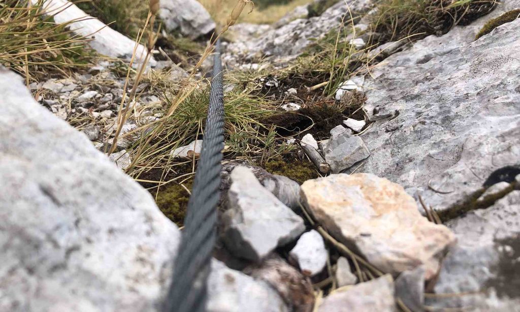
Kotlovi looked beautiful and scary at the same time. In some parts of the final route, there were metal cables to help hikers because of the steep inclination. The rocky area can be a little tricky to walk through, and there was a huge drop on the left side toward Kotlovi. Kotlovi are visible from many places and even from Sarajevo itself. I made a small circular route around this area and returned on the opposite side. I found some information saying that this is the summer route and that there is another route used during winter.
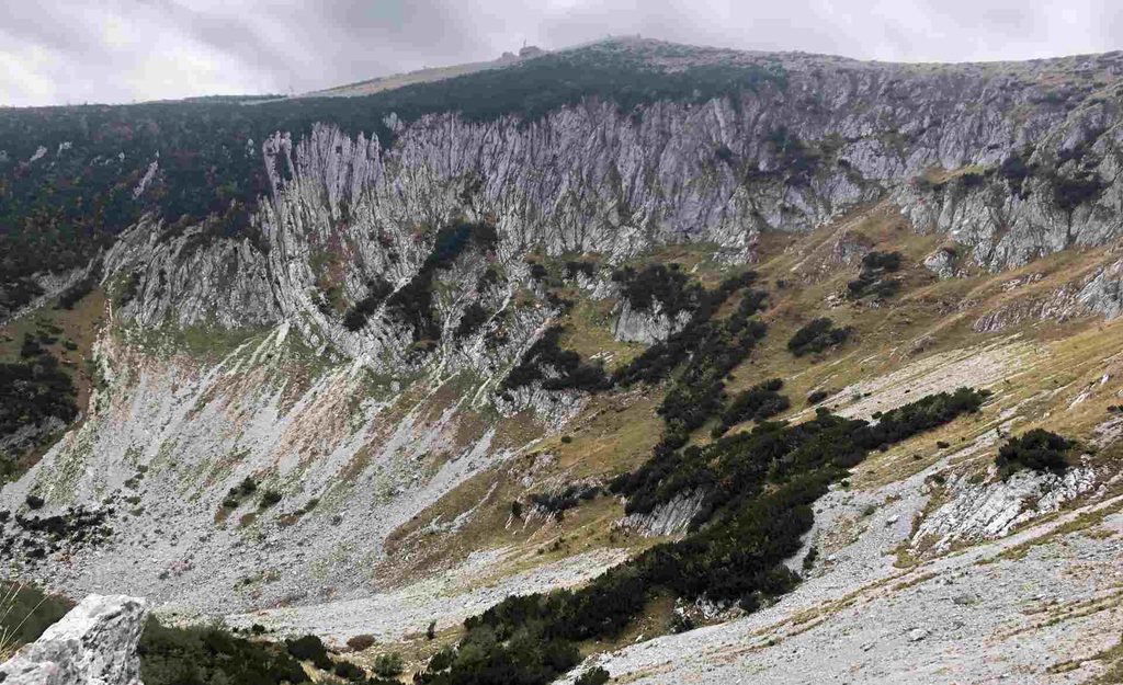
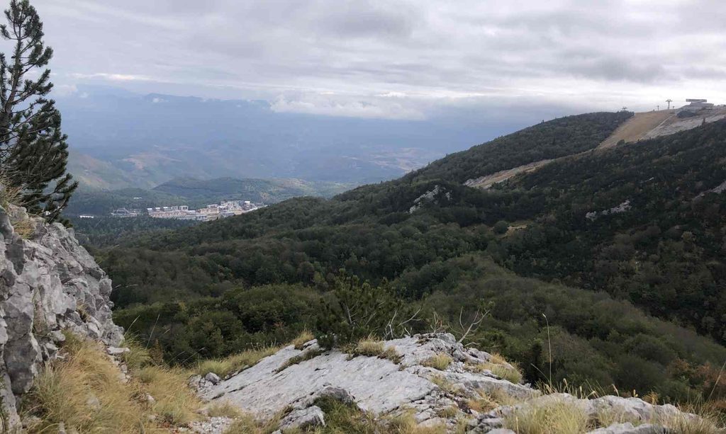
After Kotlovi, there were more mountain pines and grass. The wind also started to become crazy. I was almost at 2,000 meters of elevation, and I could now see many important objects and landmarks, including the Observatory, Velika and Mala Vlahinja, the cable car station and other parts of Bjelašnica.
Bjelašnica Observatory, Cafe, Cable Car, Monuments
I took this part slowly because I wanted to enjoy the area. Once I reached the peak, the views on both sides were incredible. To the south, there was Bjelašnica without much vegetation, with Visočica in front of me. On the opposite side, I could see Sarajevo, Trebević and probably the mountains above Skakavac waterfall. There is also a ski lift at the top. I am not sure if it is open outside the winter season.
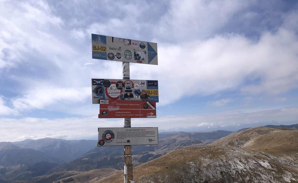
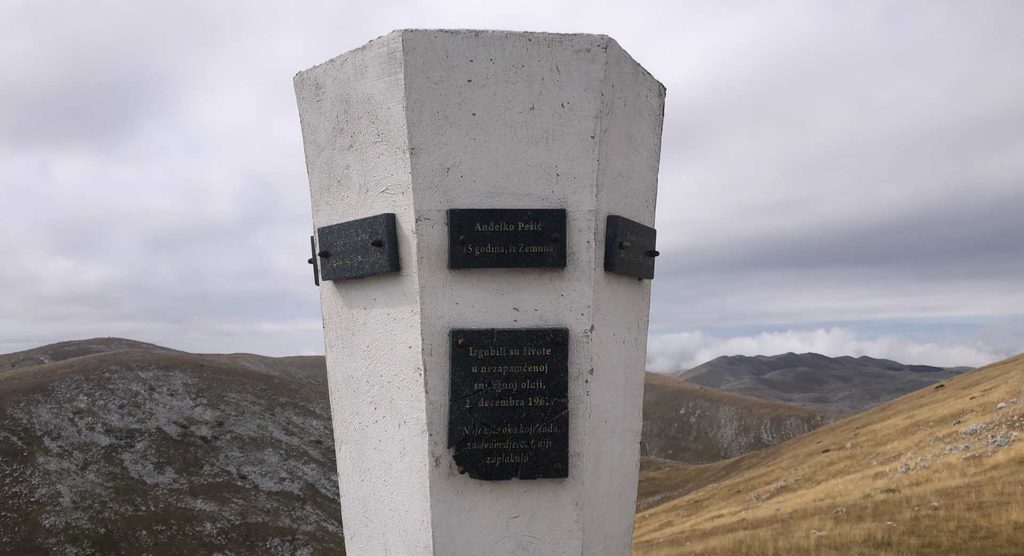
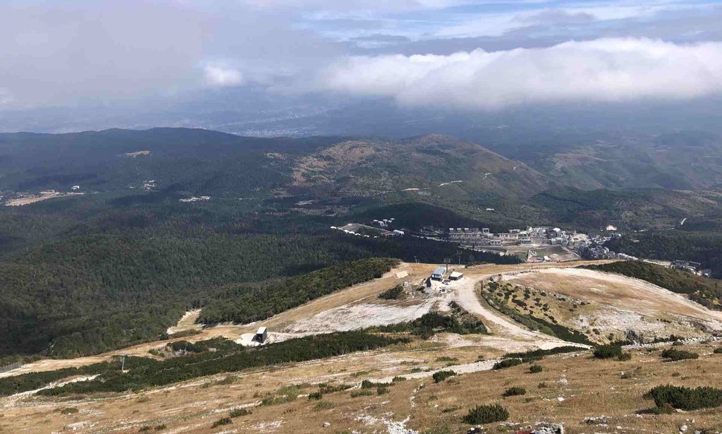
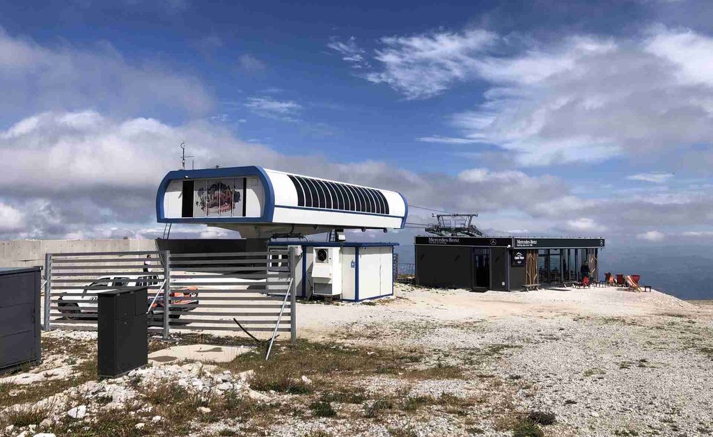
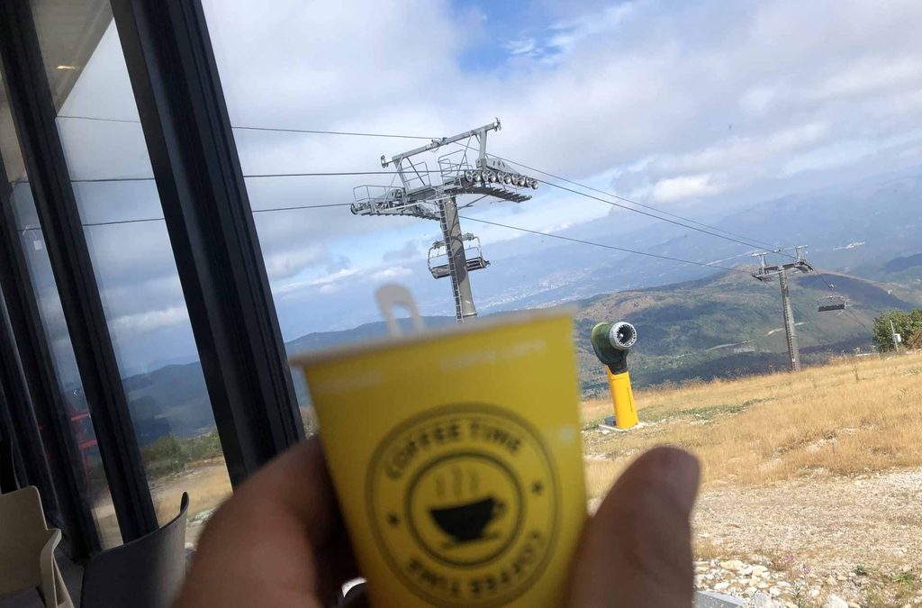
There is a meteorological station there, which is interesting because it is one of the oldest in the Balkans. There are also some destroyed and abandoned objects around the top. I walked down toward the next ski lift and cable car, which was operating for panoramic views. Next to it, I stopped for an overpriced coffee and went inside to hide from the strong wind.
Bjelašnica Peak to Božja – Kunath
From the mountain peak, I went down in a different direction, so I made a circular route here. I went down via the ski slope to the point where the Kotlovi Via Ferrata starts. From this part, I could not see Kotlovi in the same way as from the other side. Because of that, I strongly recommend taking the route via Kotlovi on the eastern side if you want the best views.
Kotlovi House to Veliko Polje Igman
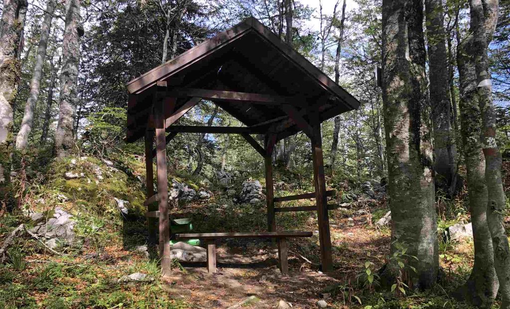
Now I was officially descending. I was back in the forests, first through the mountain pine forest, then alpine beech and maple forest, and later through beech forest. Finally, I went through Ravna Vala primeval forest again and continued downhill. I explored more of the area and went down by a different route to reach Veliko Polje closer to the middle of the field. Once I arrived, there were many people having picnics and playing ball.
Veliko Polje Igman to Hrasnički Stan
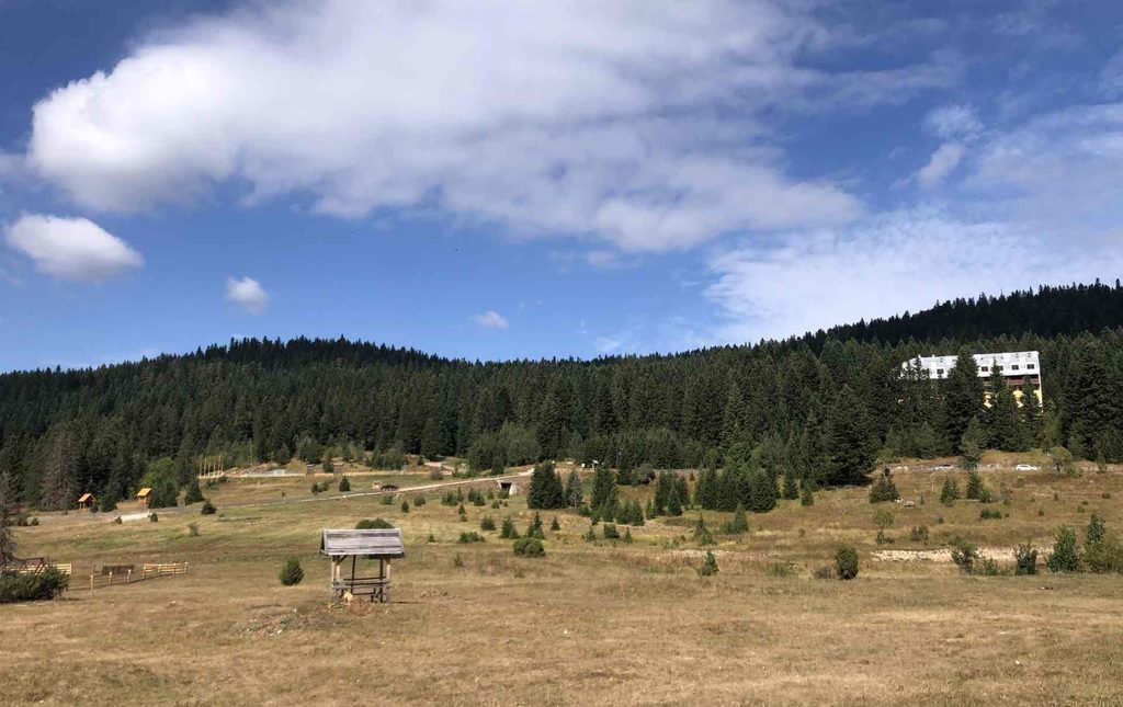
After losing a lot of elevation, it was time to gain some of it again. I gained around another 200 meters of elevation to reach Hrasnički Stan. I took another route and found an old forest road that seemed to go almost straight uphill. Since my dog had left me around here earlier, I was hoping that he might be somewhere nearby, so I was calling for him.
Hrasnički Stan to Hrasnica and Sarajevo
This was the final part of my route The sun was going down and it would soon be dark because this is the northern side of the mountain. The forest was already quite dark. The elevation was also still quite steep, but I didn’t care anymore because I realised I could reach civilisation before sunset. It was very nice to see Hrasnica again.
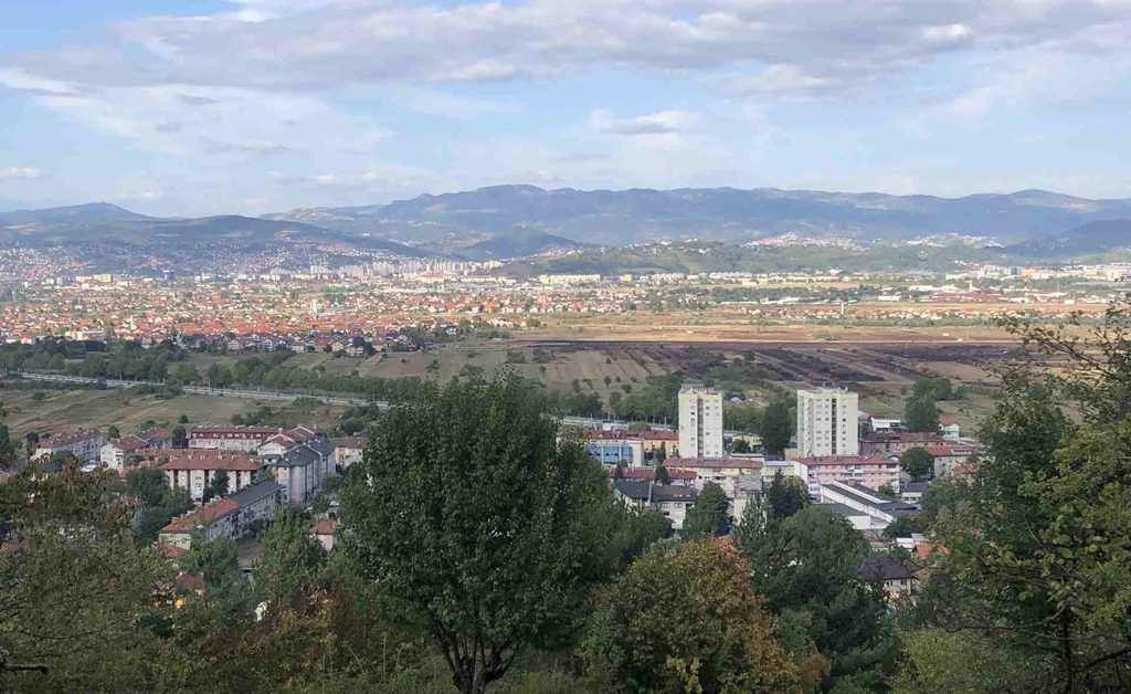
I was finally back on the flat road and continued toward Hrasnica Bus Station. I was also freezing because there had been strong wind at the peak, and I had been wet almost the whole day because the morning dew had never completely disappeared. But once I went lower, there was no more wind and the temperature was a little warmer.
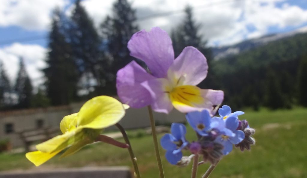
Flowers
I beleive all of this flowers can go to collection Wildflowers I found in Bosnia.
GPX DOWNLOAD