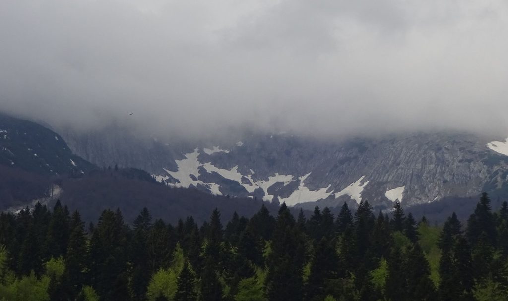
This is my guide for hiking, trekking and walking in Sarajevo and the mountains around the city, based on my own experience. This guide will be interesting mostly for people who like being in nature, looking at wildflowers, birds, trees, rocks, mountain peaks, waterfalls and similar things.
Sarajevo is a beautiful city for many reasons, but one of the best things is how close the mountains are. Some mountain areas can be reached quite easily from the city, even by walking or using public transportation.
I write separate articles about all the places I mention here. In those articles, you can see more pictures, read about my personal experience and prepare better for your trip. I also share my personal GPX files for free, so you can use the same routes I walked. This is not a guide based only on maps or information from other people. These are routes and places that I personally visited.
Hiking in Sarajevo
Because mountains are located so close to the city, hiking in Sarajevo is very popular. There are many mountains and mountain peaks around Sarajevo, with some peaks reaching almost 2,000 metres in elevation. There are also mountain huts and houses where hikers can rest, and many different routes depending on how much time and energy you have.
If you are hiking around Sarajevo, you should always be prepared. Check the weather, know where you can find water, be aware of possible landmine areas and know the emergency numbers. The mountains in Bosnia and Herzegovina are not extremely high compared with some other European mountains like Alps, but this does not mean they are always easy. Weather can change quickly, especially because the continental and Mediterranean climates meet in this part of Bosnia. The mountain landscape can also change very quickly. A route that feels easy in good weather can become much more difficult with rain, fog, strong wind or other bad conditions.
GSS, the Mountain Rescue Service, can help hikers in an emergency. You should not be afraid to call them if you really need help.
How are hiking trails marked?
Many hiking routes in Bosnia and Herzegovina are marked with the traditional red and white hiking symbol. You can usually see these marks on trees, rocks or other places along the trail. The position and direction of the symbol can help you understand which way the trail continues. Most of the routes I mention here are marked, but sometimes the most difficult part for me was not the hiking itself. It was finding the correct starting point.
This is one reason why I decided to share my GPX tracks. In each of my detailed hiking articles, I share my personal GPX route, so you can open it in your GPS or hiking application and compare it with the route you are walking.
Sarajevo to Trebević Mountain and Trebević Peak
Trebević is probably my favourite hiking route around Sarajevo. One reason is the amazing view over Sarajevo from the mountain. Another reason is that there are several ways to reach Trebević. You can go by cable car, by car or hike from the city itself.
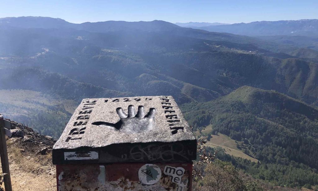
This makes Trebević interesting for different types of visitors. There are also many things to see and do on the mountain. You can visit the Adrenaline Park, mountain huts, old objects and different viewpoints. For me, the hike itself is very rewarding. You do not necessarily have to reach the highest point to enjoy Trebević, but I recommend going higher if you have enough time and energy.
I wrote a separate article about my hike to Trebević Peak, where I share more pictures and my route. There is also my personal GPX file in that article, and you can use it to follow the route I took.
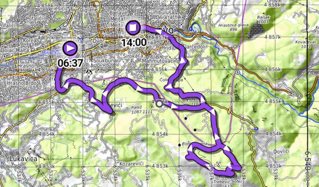
Sarajevo to Skakavac Waterfall
Skakavac Waterfall is another place where you can feel much further from civilisation than you actually are. It is located relatively close to Sarajevo, but once you enter the forest and start walking, the atmosphere changes quickly.
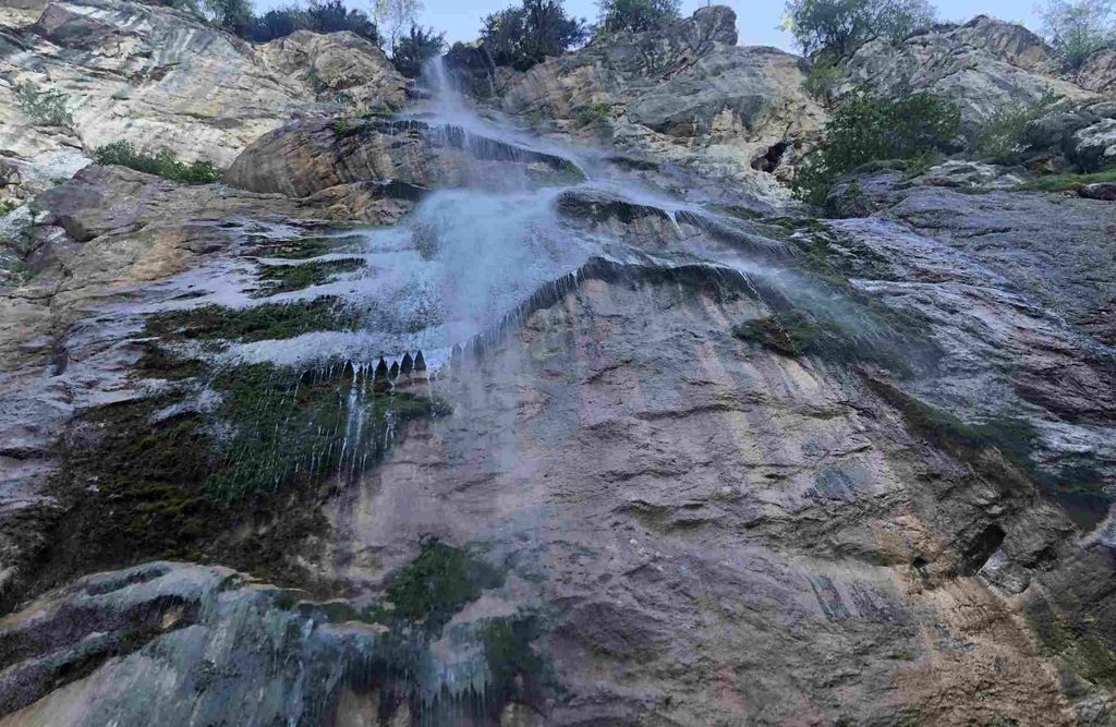
The nature around Skakavac is one of the reasons I like this hike so much. The waterfall itself is also one of the most interesting natural attractions near Sarajevo. Locals sometimes talk about bears in this area, which gives you an idea of how wild parts of the forest can feel.
Skakavac and the surrounding area are protected, and the place is also popular with locals and tourists. I wrote a detailed article about hiking from Sarajevo to Skakavac Waterfall, including my experience, pictures and route information.
My GPX route is also available there, so you can use it if you want to follow my route from Sarajevo towards the waterfall.
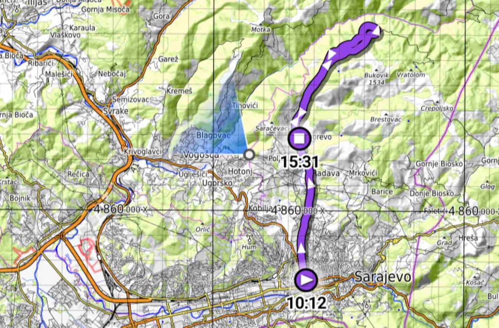
Sarajevo to Bjelašnica Peak via Igman
This was the most demanding hiking tour I have undertaken in Sarajevo, and I do not recommend it unless you are in good physical shape. The upside is that this route actually connects two trails, so you can hike from Sarajevo (Hrasnica) to Igman or from Igman to the summit of Bjelašnica. If you visit Sarajevo, you will likely see the peaks of Bjelašnica from certain parts of the city; they are clearly visible if you arrive by train or bus.
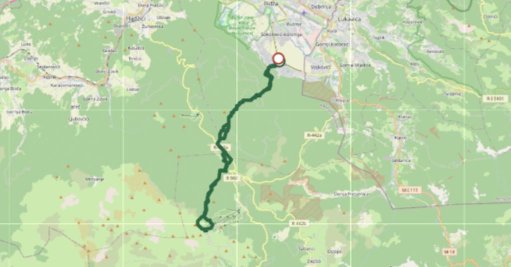
I have written another very detailed article and guide on hiking to Bjelašnica via Igman, starting from Hrasnica and using only public transport to reach it.
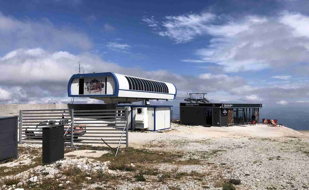
Sarajevo to Visočica and Visočica Peak
This hike is different from Trebević and Skakavac, mostly because of the higher elevation and the completely different mountain landscape. Even the starting point is already in a mountain area, so you immediately feel that you are leaving the city environment behind.
Visočica is close to Bjelašnica and the landscape feels much more like high mountains. You can see open mountain areas, rocks and large views instead of the forested environment you get on some of the lower routes. One thing I particularly liked on this route is the presence of medieval stećci. There are two important necropolises of stećci in the area. One of them is officially considered the highest stećci necropolis in Bosnia and Herzegovina.

For me, this makes the route even more interesting because you are not only hiking through nature. You are also seeing evidence that people lived and travelled through these mountains many centuries ago. I wrote a separate article about hiking to Visočica Peak, where I explain the route in more detail. You can also find my personal GPX route there, together with more pictures and information about the hike.

Trekking Dariva to Goat Bridge
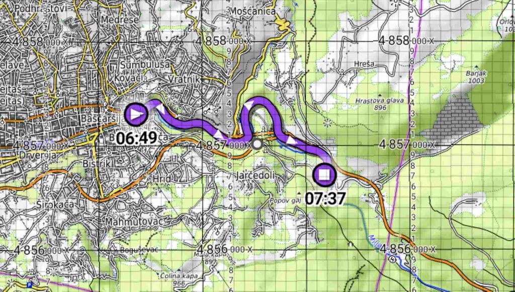
If you do not like steep slopes or very wild mountain trails but still want to feel that you are in nature, Dariva is a great option. This route starts very close to the Old Town of Sarajevo and follows the Miljacka River towards Kozja Ćuprija, also known as Goat Bridge.
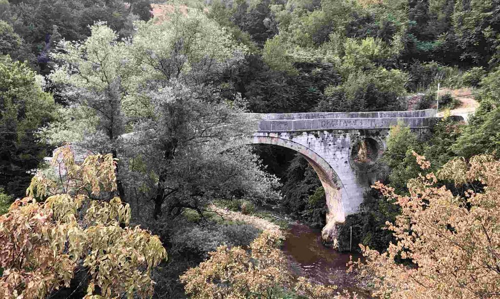
The walk is around 3.7 kilometres one way and is mostly easy and relatively flat. What surprised me was how much history you can see on such a short walk. Along the route there are picnic areas, trees, rocks, the Miljacka River and historical monuments. Goat Bridge itself is an important Ottoman monument. The route is also interesting because you can start your walk almost directly from the centre of Sarajevo.
My GPX route and more details for Goat Bridge is available in this artice article, so you can use it to follow the same walk.
Walking to Vrelo Bosne and Velika Aleja
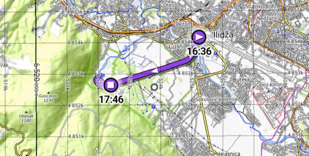
Vrelo Bosne is the source of the Bosna River and one of the most famous natural attractions around Sarajevo. It is located in Ilidža and can easily be reached by public transportation I recommend not simply taking a car directly to Vrelo Bosne. Instead, you can arrive at Ilidža Terminal and walk through Mala Aleja and then Velika Aleja towards the springs.
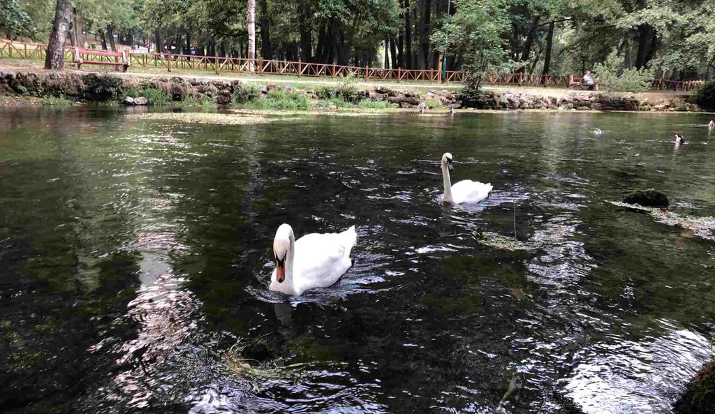
Velika Aleja is around 3.5 kilometres long and is famous for its large tree-lined avenue. The trees create a green tunnel, and the road in the middle is also used by traditional horse-drawn carriages. The walk is very popular with runners, cyclists and local people. At the end of the walk you reach Vrelo Bosne, where you can see springs, small lakes, streams, bridges, ducks and swans.
I wrote a separate article about walking from Ilidža to Vrelo Bosne and Velika Aleja. My GPX route starts at Ilidža Terminal tram station and takes you through Mala Aleja, the old hotel area and Velika Aleja before reaching Vrelo Bosne.
You can use my free GPX route if you want to follow the same walk.
Walking Vilsonovo Šetalište
Vilsonovo Šetalište, usually called Vils by local people, is located directly next to the Miljacka River. This is not a mountain hike, but I include it here because it is one of my favourite walking places in Sarajevo. It is a long tree-lined promenade where people walk, run, cycle, sit on benches and meet friends.
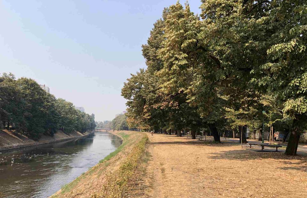
The linden trees make it especially beautiful in spring when they are flowering. During summer they provide shade, while autumn gives the promenade completely different colours. There are also many cafes and other places around it, so you can combine the walk with a coffee or meal. I wrote a separate article about walking through Vilsonovo Šetalište, including my route. It is a good option if you want to experience Sarajevo on foot without leaving the city.
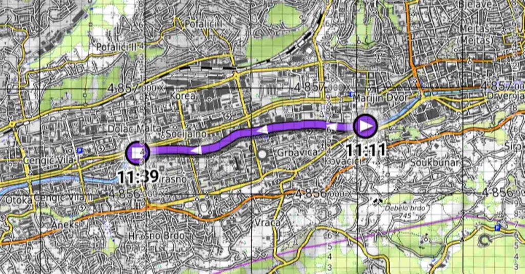
Walking the Bridges of Sarajevo
For me personally, this was one of the most interesting walks I have ever taken. Instead of hiking through a mountain, I decided to follow the bridges of Sarajevo along the Miljacka River. The route starts at Goat Bridge and continues through the city towards Ars Aevi. While walking between the bridges, you can feel how much the history of Sarajevo changed over the centuries. The bridges also show changes in construction materials and styles. You can see old stone bridges, wooden bridges, later metal and steel bridges and finally modern artistic structures.
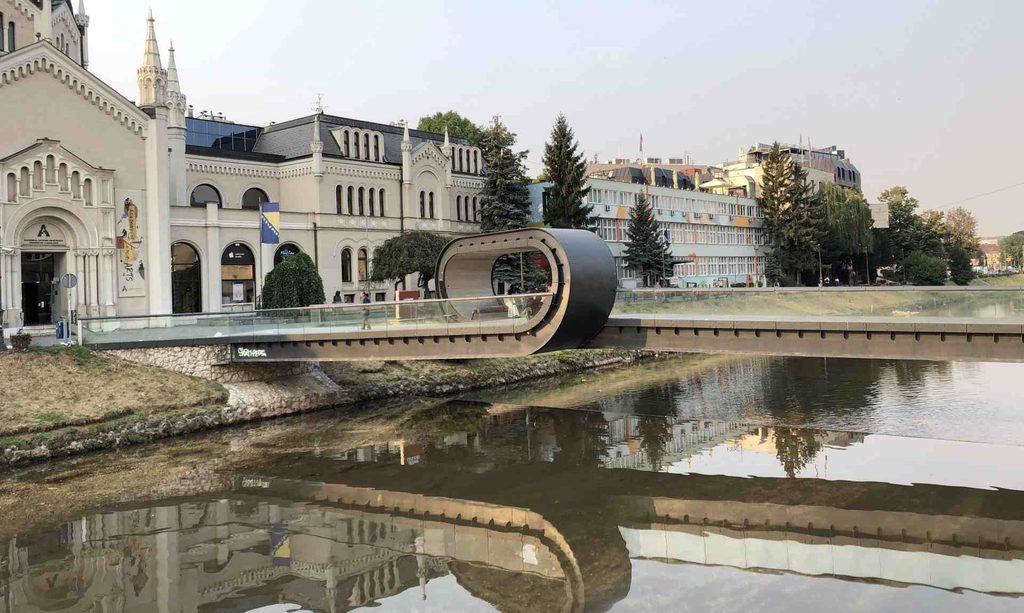
Some bridges are connected with Ottoman Sarajevo, others with the Austro-Hungarian period, Yugoslavia and the more recent history of the city. For me, this makes the walk much more than simply going from one bridge to another.
You are walking through the history of Sarajevo along one river. I wrote a separate article about Walking the Bridges of Sarajevo: From Goat Bridge to Ars Aevi, where I explain the route and the history of the bridges in more detail.